-
You are here:
- Homepage »
- United Kingdom »
- England » Mangotsfield

Mangotsfield Destination Guide
Explore Mangotsfield in United Kingdom
Mangotsfield in the region of England with its 36,427 inhabitants is a town in United Kingdom - some 102 mi or ( 165 km ) West of London , the country's capital city .
Current time in Mangotsfield is now 11:02 PM (Friday) . The local timezone is named " Europe/London " with a UTC offset of 0 hours. Depending on the availability of means of transportation, these more prominent locations might be interesting for you: Wolverhampton, Southampton, Oxford, Mangotsfield, and London. Since you are here already, make sure to check out Wolverhampton . We saw some video on the web . Scroll down to see the most favourite one or select the video collection in the navigation. Where to go and what to see in Mangotsfield ? We have collected some references on our attractions page.
Videos
3 second pop up tent, does just as it says on the tin
You have to get one of these ..
UWE Bristol - Centre for Sport
Explore UWE's cutting edge, international standard sports facilities ..
LAD LAUNCH VIDEO
LAD reveal their LAD DVD AND CALENDAR LAUNCH DATE **21st October 2011** Holiday Inn (Filton, Next to Hambrook Driving Range) ..
Cycle Lane ??? (Coldharbour Lane, Bristol)
Bristol City Council demonstrates a cynical disregard for the cycling public's safety that would see heads roll in private industry. My own choice would be to make all the people involved ride a bike ..
Videos provided by Youtube are under the copyright of their owners.
Interesting facts about this location
Downend air crash
The Downend air crash occurred on 6 November 1957 when a prototype Bristol Britannia aircraft crashed in woods near Overndale Road in Downend Village, near Bristol, England, on its landing approach at Filton airport during a test flight. All fifteen on board, four crew and 11 technicians died in the crash. A memorial service was held at Bristol Cathedral on 19 November 1957.
Located at 51.49 -2.51 (Lat./Long.); Less than 1 km away
Cossham Street Stadium
Cossham Street Stadium is home to Bristol based football club, Mangotsfield United F.C. of the Southern Premier League. The ground has mostly covered terraces and a main stand which occupies seating and changing rooms. Capacity: 2,500 (300 seated)
Located at 51.48 -2.48 (Lat./Long.); Less than 1 km away
Soundwell
Soundwell is a suburb of Bristol, England in South Gloucestershire. It is situated between Kingswood and Staple Hill. Located centrally in the parish is St. Stephen's Anglican Church and St. Stephen's CofE primary school with approximately 300 pupils. The original St. Stephen's infants school was closed and demolished several years ago to allow for expansion of Soundwell College.
Located at 51.47 -2.51 (Lat./Long.); Less than 2 km away
Mangotsfield United F.C
Mangotsfield United F.C. is an English football club based in Mangotsfield, near Bristol, who currently play in the Southern League Division One South and West. The club is affiliated to the Gloucestershire County FA and Somerset County FA. The club's traditional nickname is The Field, although in recent times they have been referred to as The Mangos. The home strip is Maroon/Sky Blue, and the away kit is Yellow/Black.
Located at 51.48 -2.48 (Lat./Long.); Less than 2 km away
A4174 road
The A4174 is a major road in England which runs around the northern and eastern edge of Bristol, mainly in South Gloucestershire, and through the southern suburbs of Bristol. When it was first conceived it was planned to circle the whole of Bristol, and is referred to as the "Bristol Ring Road" on road signs and by many local people, but this is technically inaccurate, as the road does not circle the whole city, instead covering roughly half of the route.
Located at 51.50 -2.51 (Lat./Long.); Less than 2 km away
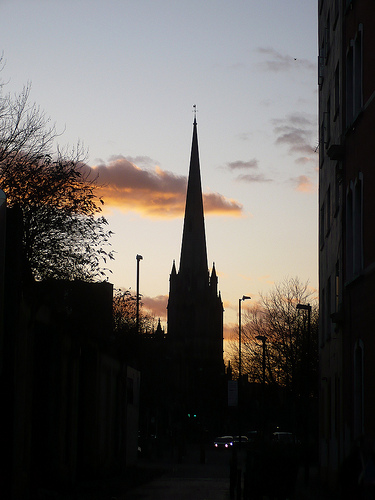
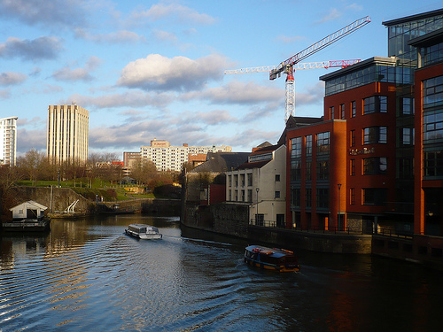
Pictures


Related Locations
Information of geographic nature is based on public data provided by geonames.org, CIA world facts book, Unesco, DBpedia and wikipedia. Weather is based on NOAA GFS.