-
You are here:
- Homepage »
- Australia »
- New South Wales » Boorowa

Boorowa Destination Guide
Touring Boorowa in Australia
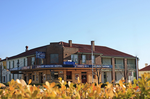
Boorowa in the region of New South Wales with its 1,340 citizens is a city located in Australia - some 63 mi or ( 101 km ) North of Canberra , the country's capital city .
Time in Boorowa is now 05:42 PM (Wednesday) . The local timezone is named " Australia/Sydney " with a UTC offset of 11 hours. Depending on your travel resources, these more prominent places might be interesting for you: Sydney City, Melbourne, Katoomba, Gunnary, and Geegullalong. Being here already, consider visiting Sydney City . Check out our recommendations for Boorowa ? We have collected some references on our attractions page.
Videos
Videos provided by Youtube are under the copyright of their owners.
Interesting facts about this location
Boorowa Shire
Boorowa Shire is a local government area in the South West Slopes region of New South Wales, Australia. The shire is located adjacent to the Lachlan Valley Way and includes Boorowa and the small towns of Rye Park, Rugby, Frogmore and Reids Flat. The Mayor of Boorowa Shire Council is Cr. Wendy Tuckerman, an independent politician.
Located at -34.43 148.72 (Lat./Long.); Less than 0 km away
Boorowa, New South Wales
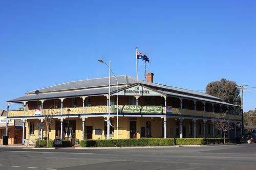
Boorowa is a farming town in the South West Slopes of New South Wales, Australia. At the 2006 census, Boorowa had a population of 1,070 people. It is located in a valley 243 km west of Sydney and 487 m above sea-level. The local government area surrounding the town, known as Boorowa Council, has a strong agricultural and mining base.
Located at -34.44 148.72 (Lat./Long.); Less than 1 km away
Bowning, New South Wales
Bowning is a small town in the Southern Tablelands, 14 km west of Yass on the Hume Highway in Yass Valley Shire. Bowning is an aboriginal word meaning big hill. Nearby Bowning Hill is 796 metres above sea level and Hume and Hovell mentioned it in their 1824 journal. Bowning was one of the earliest settlements in the district. Historic buildings include the Troopers Cottage on the Binalong Road and the old Cobb and Co Coaching Station in Bogolong Street.
Located at -34.62 148.82 (Lat./Long.); Less than 22 km away
Galong railway station
Galong is a closed railway station on the Main South railway line in New South Wales, Australia. It served the small town of Galong. The original station opened in 1877 however was replaced by a new station on a deviation which opened in 1916. Galong was the location of the junction of the branch railway to Boorowa, which closed to passenger services in 1974.
Located at -34.60 148.56 (Lat./Long.); Less than 24 km away
Galong, New South Wales
Galong is a small town in New South Wales, Australia located in Harden Shire. At the 2006 census, Galong had a population of 122 people. The town is well known for its cemetery, which has among other monuments, some angels carved by Frank Rusconi, the monumental mason from Gundagai. St Clement's monastery closed in 1975 and is now a retreat centre run by the Redemptorists and the Sisters of St. Joseph, Goulburn. The major industry in the town is the limestone open-cut mine.
Located at -34.60 148.55 (Lat./Long.); Less than 24 km away
Pictures
Historical Weather
Related Locations
Information of geographic nature is based on public data provided by geonames.org, CIA world facts book, Unesco, DBpedia and wikipedia. Weather is based on NOAA GFS.