-
You are here:
- Homepage »
- Belgium »
- Walloon Region » Grand-Halleux

Grand-Halleux Destination Guide
Discover Grand-Halleux in Belgium
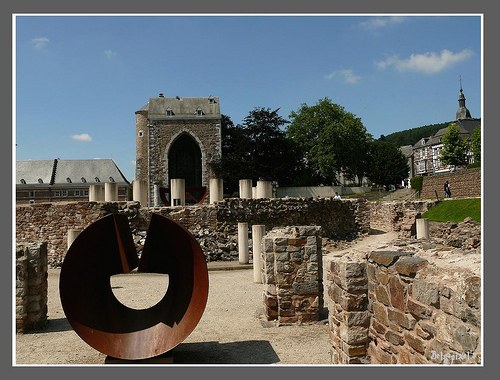
Grand-Halleux in the region of Walloon Region is a town located in Belgium - some 77 mi or ( 125 km ) South-East of Brussels , the country's capital .
Local time in Grand-Halleux is now 04:34 AM (Wednesday) . The local timezone is named " Europe/Brussels " with a UTC offset of 1 hours. Depending on your flexibility, these larger cities might be interesting for you: The Hague, Haarlem, Amsterdam, Stoumont, and Spa. When in this area, you might want to check out The Hague . We found some clip posted online . Scroll down to see the most favourite one or select the video collection in the navigation. Are you looking for some initial hints on what might be interesting in Grand-Halleux ? We have collected some references on our attractions page.
Videos
plopsacoo
une journée a plopsacoo. un attraction a ne pas rater. sensations fortes garanties. ..
Opening Vicky The Ride - Plopsa Coo
Sfeerverslag van de opening van 'spinning coaster' Vicky The Ride, in Plopsa Coo. ..
The Great Reformation Part 3, BibleOrTraditions Pope Benedict XVI Vatican
A continuing study of the Great Reformation, and the Two Witnesses of Revelation 11. Please share these videos with friends and family. =============== tags: great reformation pope benedict xvi vatica ..
Laetare STAVELOT 2011.m4v
Cortège du dimanche 03 avril 2011 ..
Videos provided by Youtube are under the copyright of their owners.
Interesting facts about this location
Salm (Amblève)
For a river in Germany, tributary to the Moselle, see Salm (Moselle). The Salm is a river in eastern Belgium, left tributary to the river Amblève. Its source is in the Ardennes, close to the border with Luxembourg near Bovigny. The Salm flows through the municipalities Gouvy, Vielsalm and Trois-Ponts, where it joins the river Amblève. It was also fought over in World War II. The 106th Golden Lions Division of the United States Army held the river until overrun by the Germans.
Located at 50.30 5.91 (Lat./Long.); Less than 3 km away
Principality of Stavelot-Malmedy
The Principality of Stavelot-Malmedy was an ecclesiastical principality of the Holy Roman Empire. Princely power was exercised by the Benedictine abbot of the imperial double monastery of Stavelot and Malmedy, founded in 651. At 600 km, it was among the smaller territories in the Empire.
Located at 50.38 5.93 (Lat./Long.); Less than 7 km away
Warche
The Warche is a river in eastern Belgium. From its source at Losheimergraben on the Belgian-German border, it flows roughly west about 50 km, across the south of the Hautes Fagnes region. It passes through the town of Malmedy, and the artificial lakes of Robertville and of Bütgenbach are formed by dams on the Warche. It is a right tributary of the river Amblève, which it joins east of Stavelot.
Located at 50.38 5.98 (Lat./Long.); Less than 8 km away
La Gleize
La Gleize is a village and section of the Belgian Municipality of Stoumont, situated in the Walloon Region in the province of Liège. Common before the full merger of Commons in 1977, La Gleize is located on a rocky outcrop overlooking the valley of Amblève in the Ardennes region.
Located at 50.42 5.85 (Lat./Long.); Less than 11 km away
Amblève (river)
The Amblève or Amel is a 93 km long river in eastern Belgium in the province of Liège. It is a right tributary of the river Ourthe. It rises near Büllingen in the High Fens ("Hoge Venen",Hohes Venn, Hautes Fagnes), close to the border with Germany. Tributaries of the Amblève are the rivers Chefna, Ninglinspo, Warche, Eau Rouge, Salm and Lienne. The Amblève flows through the towns of Amel, Stavelot, Trois-Ponts, Remouchamps, and Aywaille. The Amblève joins the river Ourthe in Comblain-au-Pont.
Located at 50.41 5.80 (Lat./Long.); Less than 12 km away
Pictures
Historical Weather
Related Locations
Information of geographic nature is based on public data provided by geonames.org, CIA world facts book, Unesco, DBpedia and wikipedia. Weather is based on NOAA GFS.