
Discover Taubate in Brazil
Taubate in the region of São Paulo with its 251,641 habitants is a place located in Brazil - some 524 mi or ( 843 km ) South of Brasília , the country's capital .
Local time in Taubate is now 08:17 AM (Sunday) . The local timezone is named " America/Sao Paulo " with a UTC offset of -2 hours. Depending on your mobility, these larger cities might be interesting for you: Taboao da Serra, São Paulo, São José dos Campos, Santos, and Rio de Janeiro. When in this area, you might want to check out Taboao da Serra . We discovered some clip posted online . Scroll down to see the most favourite one or select the video collection in the navigation. Are you looking for some initial hints on what might be interesting in Taubate ? We have collected some references on our attractions page.
Videos
Eletro Park 2° Edição
Um evento realizado no Parque São Cristovão, com o intuito de promover a alegria de várias pessoas.. ..
UDK Race Game Prototype - WIP
My new game prototype. Any help with car physics and camera will be very welcome. ..
Homenagem Reviver 2010
A cada ano buscamos mais, queremos ser melhores do que antes, sonhar mais alto, cometer menos erros ... Mais 1 ano se passou ... Foram novos obstáculos que se tornaram em conquistas, Dificuldades e de ..
psy rebolation rafinha
rafa arrebentando com o psy shuashuashua!!!!!!!!!!!!! ..
Videos provided by Youtube are under the copyright of their owners.
Interesting facts about this location
Taubaté
Taubaté is a medium-sized city in the State of São Paulo, in southeastern Brazil. Its strategic geographical location, between the two most important Brazilian cities (280 km), being crossed by Presidente Dutra Highway which connects the two megacities and is directly connected to São Paulo via SP-070 also called Rodovia Governador Carvalho Pinto, and between high, cold mountains and the Atlantic Ocean has helped the development of the city.
Located at -23.03 -45.55 (Lat./Long.); Less than 1 km away
Pindamonhangaba
Pindamonhangaba is a municipality in the state of São Paulo, Brazil, located in the Paraíba valley, between the two most active production and consumption regions in the country, São Paulo and Rio de Janeiro. It is accessed to the Via Dutra (highway) at the 99th km (BR-116). This place name comes from the Old Tupi language meaning where hooks are made or, according to a different interpretation, where the river bends.
Located at -22.92 -45.46 (Lat./Long.); Less than 15 km away
Caçapava
Caçapava is a municipality in the state of São Paulo in Brazil. The population in 2004 was 81,298 and the area was 370.87 km². The elevation is 560 m. The city lies between Taubaté and São José dos Campos.
Located at -23.10 -45.71 (Lat./Long.); Less than 18 km away
Santo Antônio do Pinhal
Santo Antônio do Pinhal is a municipality in the state of São Paulo in Brazil. The population in 2004 was 6,827 and the area is 133.27 km². The elevation is 1,080 m (3543 ft). Santo Antonio do Pinhal is a small town near Campos do Jordão, some 150km away from São Paulo.
Located at -22.83 -45.66 (Lat./Long.); Less than 25 km away
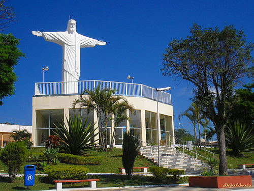
Pictures
Related Locations
Information of geographic nature is based on public data provided by geonames.org, CIA world facts book, Unesco, DBpedia and wikipedia. Weather is based on NOAA GFS.