-
You are here:
- Homepage »
- Chile »
- Magallanes » Puerto Natales

Puerto Natales Destination Guide
Touring Puerto Natales in Chile
Puerto Natales in the region of Magallanes with its 20,000 citizens is located in Chile - some 1,265 mi or ( 2036 km ) South of Santiago , the country's capital city .
Time in Puerto Natales is now 02:03 PM (Tuesday) . The local timezone is named " America/Santiago " with a UTC offset of -3 hours. Depending on your budget, these more prominent places might be interesting for you: Yacimiento Rio Turbio, Río Gallegos, Punta Arenas, Puerto Prat, and Cerro Dorotea. Being here already, consider visiting Yacimiento Rio Turbio . We collected some hobby film on the internet . Scroll down to see the most favourite one or select the video collection in the navigation. Check out our recommendations for Puerto Natales ? We have collected some references on our attractions page.
Videos
PN Torres del Paine
Visita al Parque Nacional Torres del Paine, en la Patagonia Chilena ..
Torres del Paine: excursi Olijavi's photos around Puerto Natales, Chile
Preview of Olijavi's blog at TravelPod. Read the full blog here: www.travelpod.com This blog preview was made by TravelPod using the TripAdvisor™ TripWow slideshow creator. Entry from: Puerto Natales, ..
Torres del Paine Davidenicola's photos around Puerto Natales, Chile (puerto natalers sul lago)
Preview of Davidenicola's blog at TravelPod. Read the full blog here: www.travelpod.com This blog preview was made by TravelPod using the TripAdvisor™ TripWow slideshow creator. Learn more about these ..
Chilean Fjords and Mountains Montsum's photos around Puerto Natales, Chile (travel pics)
Preview of Montsum's blog at TravelPod. Read the full blog here: www.travelpod.com This blog preview was made by TravelPod using the TripAdvisor™ TripWow slideshow creator. Learn more about these vide ..
Videos provided by Youtube are under the copyright of their owners.
Interesting facts about this location
Puerto Bories
Puerto Bories, about 4 km from downtown Puerto Natales, was a sheep meat and wool processing plant of the Sociedad Explotadora de Tierra del Fuego. Pioneers arrived from Europe in the late nineteenth Century to the Last Hope Province, giving life to a thriving industry based on sheep farming. Such development resulted in the construction of the Bories Cold-Storage Plant in 1915 were processed, frozen and further exported as meat and wool to the European markets.
Located at -51.69 -72.53 (Lat./Long.); Less than 5 km away
28 de Noviembre
28 de Noviembre, written out as Veintiocho de Noviembre, is a town in southwestern Santa Cruz Province, Argentina. It has roughly 5,300 inhabitants, mostly of Argentinian, and Italian origin, and is located 270 km west of Río Gallegos and 13 km south of Río Turbio. The town is near the border with Chile, not far from Puerto Natales. Its main economic activity is coal mining.
Located at -51.65 -72.30 (Lat./Long.); Less than 15 km away
Cerro Benítez
Cerro Benítez ("Benítez hill") is a mountain in the Patagonian region of Chile. In a larger context this feature is an element of the Cerro Toro geological complex. The Cueva del Milodón Natural Monument is situated on the southern flank of Cerro Benítez. The Cerro Benítez is a location for sighting of the Andean Condor.
Located at -51.55 -72.60 (Lat./Long.); Less than 21 km away
Julia Dufour
Julia Dufour is a village and municipality in Santa Cruz Province in southern Argentina.
Located at -51.53 -72.30 (Lat./Long.); Less than 25 km away
Río Turbio
Río Turbio is a town and municipality in the Güer Aike Department of the Santa Cruz Province in southern Argentina. It was founded in late 1942, as a consequence of the coal mining in the area. Rio Turbio was home to the state-owned coal extraction company YCF. Río Turbio Airport is located near to 28 de Noviembre town, about 16 km southwest of Rio Turbio.
Located at -51.53 -72.30 (Lat./Long.); Less than 25 km away
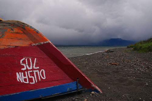
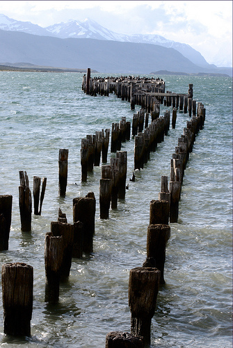
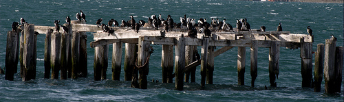
Pictures
Related Locations
Information of geographic nature is based on public data provided by geonames.org, CIA world facts book, Unesco, DBpedia and wikipedia. Weather is based on NOAA GFS.