
Explore Branderion in France
Branderion in the region of Bretagne with its 1,030 inhabitants is a town in France - some 265 mi or ( 426 km ) West of Paris , the country's capital city .
Current time in Branderion is now 09:39 PM (Saturday) . The local timezone is named " Europe/Paris " with a UTC offset of 1 hours. Depending on the availability of means of transportation, these more prominent locations might be interesting for you: Oxford, London, Bristol, Vannes, and Treauray. Since you are here already, make sure to check out Oxford . We encountered some video on the web . Scroll down to see the most favourite one or select the video collection in the navigation. Where to go and what to see in Branderion ? We have collected some references on our attractions page.
Videos
Neolithic Megaliths
We were riding through the Brittany countryside in northwest France when we happened across this 6000 year old megalith. ..
Ty Maya - extrait sonore : New Hope from PYG Album End of the World (Brennus Music/Muséa) 2011
Film de présentation de Ty Maya - la Chaumière de Kervassal, Chambres d'Hôtes de charme à Riantec (56) ..
Poul Fetan - Quistinic
Imaginez vous dans un village breton du 19 ème siècle... ..
Newquay Cornwall UK Self Cater Holiday Promotion
Bluechipholidays.co.uk This fabulous Flat sleeps up to 6 people. HD TV. DVD. and Internet access. Easy reach of Golf Coarse and Fistral Beach. The open plan living space utilise the natural light and ..
Videos provided by Youtube are under the copyright of their owners.
Interesting facts about this location
Parc botanique de Kerbihan
The Parc botanique de Kerbihan (10 hectares), sometimes also called the Arboretum d'Hennebont, is a municipal arboretum and botanical garden located near the Rue Gérard Philipe, Hennebont, Morbihan, Bretagne, France. It is open daily without charge. The park was created in the late 19th century and restored in the 1960s. Today it contains 130 types of trees from around the world and 400 varieties of shrubs.
Located at 47.81 -3.27 (Lat./Long.); Less than 6 km away
Scorff
The Scorff River flows from central Brittany and enters the Atlantic Ocean on the south coast in Lorient. The Scorff rises north of Langoëlan, in the Morbihan department, and flows through the towns of Guémené-sur-Scorff and Pont-Scorff. From there its bed enlarges to form a ria, submitted to the tides. It joins the Blavet in Lorient, where it enters the Ocean in the roadstead of Lorient. It is 78.7 kilometres long.
Located at 47.74 -3.35 (Lat./Long.); Less than 13 km away
Stade du Moustoir
Stade du Moustoir is a multi-use stadium in Lorient, France. It is currently used mostly for football matches and is the home stadium of FC Lorient. The stadium can hold up to 18,500 people (18,110 seats) since 2010 with the new south tribune.
Located at 47.75 -3.37 (Lat./Long.); Less than 14 km away
Blavet
For the French flautist, see Michel Blavet The Blavet river flows from central Brittany and enters the Atlantic Ocean on the south coast near Lorient. The river is canalized for most of its length and is navigable for smaller craft. It is part of Brittany's canal system and became more important when the western half of that system got cut off by the construction of Lake Guerlédan's hydroelectric power dam.
Located at 47.71 -3.37 (Lat./Long.); Less than 16 km away
Kerzerho
Kerzerho lies approximately 8 km northwest of Carnac in the Erdeven commune and in the region of Brittany, France.
Located at 47.63 -3.15 (Lat./Long.); Less than 18 km away
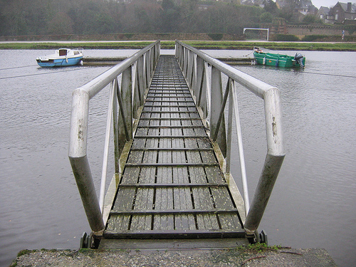
Pictures
Related Locations
Information of geographic nature is based on public data provided by geonames.org, CIA world facts book, Unesco, DBpedia and wikipedia. Weather is based on NOAA GFS.