
Touring Lancieux in France
Lancieux in the region of Bretagne with its 1,264 citizens is a city located in France - some 206 mi or ( 331 km ) West of Paris , the country's capital city .
Time in Lancieux is now 02:26 AM (Monday) . The local timezone is named " Europe/Paris " with a UTC offset of 1 hours. Depending on your travel resources, these more prominent places might be interesting for you: Oxford, London, Cambridge, Bristol, and Birmingham. Being here already, consider visiting Oxford . We collected some hobby film on the internet . Scroll down to see the most favourite one or select the video collection in the navigation. Check out our recommendations for Lancieux ? We have collected some references on our attractions page.
Videos
Cottage Duplex Saint Jacut de la Mer
Location Saisonnière Appartement Duplex Vue Mer Panoramique ..
TALL SHIPS RACES 2012
PREPARATION DE LA TALL SHIPS RACES 2012 A SAINT MALO ..
La côte entre Dinard et Saint Lunaire
une vue sur la côte, entre Dinard et Saint lunaire ..
Oh ma Bretagne
Quelques photos de ma Bretagne ..
Videos provided by Youtube are under the copyright of their owners.
Interesting facts about this location
Dinard–Pleurtuit–Saint-Malo Airport
Dinard–Pleurtuit–Saint-Malo Airport or Aéroport de Dinard - Pleurtuit - Saint-Malo is an airport serving the city of Saint-Malo, France. It is located 5 km south-southwest of Dinard in Pleurtuit, a commune of the département of Ille-et-Vilaine.
Located at 48.59 -2.08 (Lat./Long.); Less than 6 km away
The Singing Stones of Brittany
The 'Pierre Sonnantes' or Singing Stones of Brittany are located on the left bank of the river L'Arguenon opposite the ruined castle of Gilles de Bretagne at Notre-Dame-le-Guildo, near Dinard in the Cotes D'Armor. The stones are round and smooth, shiny black and extremely large, weighing in excess of ten tonnes each and are made of a heavy metallic stone that rings like a bell if struck by another smaller piece of the same stone.
Located at 48.58 -2.21 (Lat./Long.); Less than 6 km away
SS Hilda
SS Hilda was a steamship owned by the London and South Western Railway. She was used on the Southampton - Channel Islands - St Malo service until she sank in 1905 with the loss of 125 lives.
Located at 48.67 -2.10 (Lat./Long.); Less than 8 km away
Rance (river)
The Rance is a river of northwestern France. It flows into the English Channel between Dinard and Saint-Malo. Before reaching the Channel, its waters are barred by a 750 metre long dam forming the Rance tidal power plant. The river is linked to the Vilaine by means of the Canal d'Ille-et-Rance. Départements and towns along the river: Côtes-d'Armor : Collinée, Caulnes, Dinan Ille-et-Vilaine : Dinard, Saint-Malo
Located at 48.64 -2.04 (Lat./Long.); Less than 9 km away
Solidor Tower
Solidor Tower (in French tour Solidor) is a strengthened keep with three linked towers, located in the estuary of the river Rance in Brittany. It was built between 1369 and 1382 by John V, Duke of Brittany (i.e. Jean IV in French) to control access to the Rance at a time when the city of Saint-Malo did not recognize his authority. Over the centuries the tower lost its military interest and became a jail. It is now a museum celebrating Breton sailors exploring Cape Horn.
Located at 48.63 -2.03 (Lat./Long.); Less than 10 km away
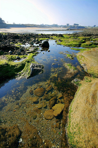
Pictures
Related Locations
Information of geographic nature is based on public data provided by geonames.org, CIA world facts book, Unesco, DBpedia and wikipedia. Weather is based on NOAA GFS.