
Delve into Sizun in France
Sizun in the region of Bretagne with its 1,970 residents is located in France - some 295 mi or ( 475 km ) West of Paris , the country's capital .
Local time in Sizun is now 09:41 AM (Sunday) . The local timezone is named " Europe/Paris " with a UTC offset of 1 hours. Depending on your mobility, these larger destinations might be interesting for you: Oxford, London, Bristol, Saint-Thegonnec, and Saint-Ildut. While being here, you might want to check out Oxford . We discovered some clip posted online . Scroll down to see the most favourite one or select the video collection in the navigation. Are you curious about the possible sightseeing spots and facts in Sizun ? We have collected some references on our attractions page.
Videos
pardon des chevaux de st eloy
Chaque année au jeudi de l'ascension se déroule le pardon des chevaux à sant-alar(saint eloy) en finistere, procession des bannières et baptême des chevaux et jeux breton ..
Breton music
Celtic musicians playing bombards, Breton bagpipe and diatonic accordion at annual pardon at Saint Anne Chapelle near Lampaul-Guimiliau ..
Pardon at St. Anne
Annual pardon at Saint Anne Chapelle near Lampaul-Guimiliau ..
gite ker yann le Faou
location présente sur amivac locations vacances www.amivac.com ..
Videos provided by Youtube are under the copyright of their owners.
Interesting facts about this location
Roc'h Trevezel
Roc'h Trevezel is the second peak of the Breton part of the Armorican Massif in the Monts d'Arrée. Just like the Signal of Toussaines, it reaches 384m in altitude. It is located in the commune of Plounéour-Ménez, near Roc'h Ruz, the highest point of the Monts d'Arrée in Brittany. Roc'h Trevezel is the highest peak on the Paris–Brest–Paris bicycle route.
Located at 48.41 -3.91 (Lat./Long.); Less than 13 km away
Gare de Landerneau
Gare de Landerneau is a railway station serving the town Landerneau, Finistère department, western France. It is situated on the Paris–Brest railway and the branch to Quimper.
Located at 48.45 -4.26 (Lat./Long.); Less than 14 km away
Réservoir Saint-Michel
Réservoir Saint-Michel is a lake in Finistère, France. At an elevation of 227 m, its surface area is 4.5 km².
Located at 48.35 -3.90 (Lat./Long.); Less than 15 km away
Manoir de Mézarnou
The Manoir de Mézarnou is a fortified 16th century manor-house located in the Finistère département of Brittany in northwestern France. It is located in the small rural town of Plounéventer, near Landivisiau. It was erected by Yves de Parcevaux, who reorganized the domaine between 1571 and 1591.
Located at 48.51 -4.22 (Lat./Long.); Less than 16 km away
Île de Tibidy
Tibidy (Latin - insula Thopopegya or insula Thopepigia) is a French islet at the mouth of the river Faou, at the bottom of the roadstead of Brest, on land belonging to the commune of L'Hôpital-Camfrout. Its highest point is 15m. The island houses a private manor and is linked to the mainland by a spit.
Located at 48.30 -4.25 (Lat./Long.); Less than 17 km away
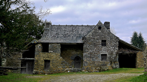
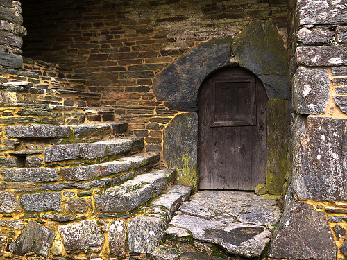
Pictures
Related Locations
Information of geographic nature is based on public data provided by geonames.org, CIA world facts book, Unesco, DBpedia and wikipedia. Weather is based on NOAA GFS.