-
You are here:
- Homepage »
- France »
- Midi-Pyrenees » Lauzerte

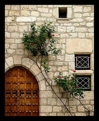
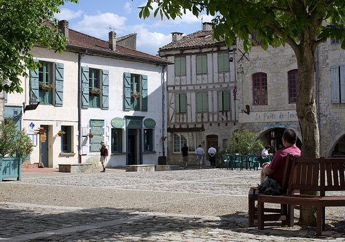
Lauzerte Destination Guide
Explore Lauzerte in France
Lauzerte in the region of Midi-Pyrénées with its 1,592 inhabitants is a town in France - some 323 mi or ( 520 km ) South of Paris , the country's capital city .
Current time in Lauzerte is now 06:16 AM (Friday) . The local timezone is named " Europe/Paris " with a UTC offset of 1 hours. Depending on the availability of means of transportation, these more prominent locations might be interesting for you: Vazerac, Toulouse, Touffailles, Tarbes, and Saint-Gervais. Since you are here already, make sure to check out Vazerac . We encountered some video on the web . Scroll down to see the most favourite one or select the video collection in the navigation. Where to go and what to see in Lauzerte ? We have collected some references on our attractions page.
Videos
La Terrasse Lauzerte
For holiday rentals, also For Sale ... a historic stone house ideally situated in beautiful Lauzerte, in south-west France. For more info, www.holidaylettings.co.uk ..
Aurignac Bells
The view from Lapeyrouse to Aurignac on, sadly, a very dull and windy day. Better luck next time! ..
Chorale in A minor by Cesar Franck
The finale to a wonderful organ recital given by Francois Espinasse at... Eglise St-Barthelemy de Lauzerte (my wife couldn't believe we went on holiday to the south of France and there was an organ re ..
Paris street scene
I think this is the Hotel de Ville (City Hall) ..
Videos provided by Youtube are under the copyright of their owners.
Interesting facts about this location
Château de Charry
The Château de Charry is a castle, originally 15th century, in the commune of Montcuq in the Lot département of France. The castle was built in three stages. It was initially a keep whose principal masonry was flanked by two polygonal towers. It was encircled by a fortified curtain wall; the remains of this are the third tower, though not connected to the main building, and a rectangular barbican. Cannon positions defended access to the well.
Located at 44.34 1.21 (Lat./Long.); Less than 11 km away
Moissac Abbey
Moissac Abbey was a Benedictine and Cluniac monastery in Moissac, Tarn-et-Garonne in south-western France. A number of its medieval buildings survive including the abbey church, which has famous and important Romanesque sculpture around the entrance. According to legend, Moissac abbey was founded by Clovis (the Frankish king), but from historical information it was founded by Saint Didier, bishop of Cahors in the middle of the 7th century.
Located at 44.11 1.08 (Lat./Long.); Less than 17 km away
Gare de Moissac
Moissac is a railway station in Moissac, Midi-Pyrénées, France. The station is located on the Bordeaux–Sète railway. The station is served by TER (local) services operated by SNCF.
Located at 44.10 1.08 (Lat./Long.); Less than 18 km away
Séoune
The Séoune is a 65 km long river in the Lot, Tarn-et-Garonne and Lot-et-Garonne départements, southwestern France. Its source is at Sauzet. It flows generally southwest. It is a right tributary of the Garonne into which it flows between Lafox and Boé, near Agen.
Located at 44.40 1.26 (Lat./Long.); Less than 19 km away
Aveyron (river)
The Aveyron is a 291 km long river in southern France, right tributary of the Tarn River. It rises in the southern Massif Central, near Sévérac-le-Château. In 1855 evidence of prehistoric man was found near Bruniquel under a hill called Montastruc. The hill was 98 foot high. The account said the overhang extended for about 46 feet along the river and the area enclosed was 298 square yards. Within this cave was found the 13,000 year old sculpture called Swimming Reindeer.
Located at 44.09 1.27 (Lat./Long.); Less than 21 km away
Pictures
Historical Weather
Related Locations
Information of geographic nature is based on public data provided by geonames.org, CIA world facts book, Unesco, DBpedia and wikipedia. Weather is based on NOAA GFS.