-
You are here:
- Homepage »
- France »
- Midi-Pyrenees » Mazeres

Mazeres Destination Guide
Discover Mazeres in France
Mazeres in the region of Midi-Pyrénées with its 3,006 habitants is a town located in France - some 388 mi or ( 625 km ) South of Paris , the country's capital .
Local time in Mazeres is now 05:53 AM (Wednesday) . The local timezone is named " Europe/Paris " with a UTC offset of 1 hours. Depending on your flexibility, these larger cities might be interesting for you: Villefranche-de-Lauragais, Toulouse, Saverdun, Rodez, and Perpignan. When in this area, you might want to check out Villefranche-de-Lauragais . We found some clip posted online . Scroll down to see the most favourite one or select the video collection in the navigation. Are you looking for some initial hints on what might be interesting in Mazeres ? We have collected some references on our attractions page.
Videos
VIAJE POR EL SUR DE FRANCIA: NARBONA, CARCASONA Y RENNES LES CHATEAUX
Viaje en el verano de 1982, creo, con Jose Mª Fernández, Bibiana Gomis Omedes, sus hermanos y mis hermanos Sergio y Carlos. Sé que poner estos vídeos parece una venganza, pero eso tiene el que yo sea ..
what the fukc happened
Tour de france Pyrenees 2009 chaos ???? ..
Le Moulin de Nailloux
Dans le Lauragais ..
Wine Cave
This is a short tour of the side of my house which is the perimeter surrounding the 400 year old wine cave attached to my house in France. ..
Videos provided by Youtube are under the copyright of their owners.
Interesting facts about this location
Château de Calmont
The Château de Calmont is a ruined 14th century castle in the commune of Calmont in the Haute-Garonne département of France. The property of the commune, it has been listed since 1927 as a monument historique by the French Ministry of Culture.
Located at 43.29 1.63 (Lat./Long.); Less than 5 km away
Camp Vernet
Le Vernet Internment Camp, or Camp Vernet, was a concentration camp in Le Vernet, Ariège, near Pamiers, in the French Pyrenees. It was originally built in June 1918 to house French colonial troops serving in World War I but when hostilities ceased it was used to hold German and Austrian prisoners of war. Between the wars, it served as a military depot. Towards the end of the Spanish Civil War, in February 1939, it was put to a new use.
Located at 43.20 1.61 (Lat./Long.); Less than 8 km away
Hers-Vif
The Hers-Vif ("Live Hers", as opposed to the slower flowing Hers-Mort, "Dead Hers"), also named Grand Hers or simply Hers, is a 135 km long river in Southern France, right tributary of the Ariège River. The Hers-Vif rises at a height of ±1500 m near the Chioula Pass of the Pyrenees, approximately 6 km north of Ax-les-Thermes. It is the major tributary of the Ariège into whose right bank it flows 2 km upstream from Cintegabelle in the Haute-Garonne.
Located at 43.31 1.55 (Lat./Long.); Less than 12 km away
Lac de la Ganguise
Lac de la Ganguise (also known as Retenue de l'Estrade) is a lake in Aude, France. Its surface area is 2.78 km². It lies in the communes of Baraigne, Cumiès, Gourvieille, Belflou and Molleville.
Located at 43.32 1.81 (Lat./Long.); Less than 13 km away
Lers Aqueduct
Lers Aqueduct (French: Aqueduc de Lers) is one of several aqueducts, or water bridge, created for the Canal du Midi. Originally, the canal crossed the Hers-Mort on the level. It is near the village of Villefranche-de-Lauragais. The structure was completed in 1806 and designed by Jean-Polycarpe Maguès, chief engineer on the Canal du Midi. The stream it crosses is also known as l'Hers.
Located at 43.39 1.69 (Lat./Long.); Less than 16 km away
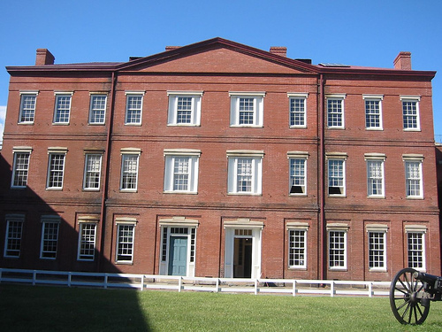
Pictures
Historical Weather
Related Locations
Information of geographic nature is based on public data provided by geonames.org, CIA world facts book, Unesco, DBpedia and wikipedia. Weather is based on NOAA GFS.