-
You are here:
- Homepage »
- France »
- Pays de la Loire » La Faute-sur-Mer

La Faute-sur-Mer Destination Guide
Delve into La Faute-sur-Mer in France
La Faute-sur-Mer in the region of Pays de la Loire with its 972 residents is located in France - some 244 mi or ( 393 km ) South-West of Paris , the country's capital .
Local time in La Faute-sur-Mer is now 06:49 PM (Wednesday) . The local timezone is named " Europe/Paris " with a UTC offset of 1 hours. Depending on your mobility, these larger destinations might be interesting for you: Saint-Michel-en-l'Herm, Saint-Martin-de-Re, Paris, Niort, and Nantes. While being here, you might want to check out Saint-Michel-en-l'Herm . We discovered some clip posted online . Scroll down to see the most favourite one or select the video collection in the navigation. Are you curious about the possible sightseeing spots and facts in La Faute-sur-Mer ? We have collected some references on our attractions page.
Videos
Cuirassé Richelieu (maquette)
exposition de la maquette du Richelieu par l'amicale des anciens marins de L'Aiguillon La Faute sur Mer (Vendée) détails sur:fr.wikipedia.org ..
Angles - Le Bernard - Moricq (Vendée)
Aperçu des monument des communes de Angles, Le Bernard ainsi que Moricq - Vendée 85 ..
Rural France - Feel the space...
Not the most exciting video, taken on a cheap keychain camera, but it goes to show how much space there is to play in France, and how quiet the roads are. We were only out on a gentle bimble from La T ..
Voeux 2013 - Office de Tourisme de l'Aiguillon sur Mer
Vœux 2013 : La Présidente, le Conseil d'Administration, Cécile & David vous souhaitent leurs meilleurs vœux pour 2013. Apercevez à travers cette vidéo quelques activités à partager en famille ou entre ..
Videos provided by Youtube are under the copyright of their owners.
Interesting facts about this location
Pointe du Grouin du Cou lighthouse
The Pointe du Grouin du Cou lighthouse (sometimes called the La Tranche-sur-Mer lighthouse) is a French lighthouse, located on the eponymous point in the southern part of the Vendée department; it guards the entrance to the Pertuis Breton on the Île de Ré, on the west side of La Tranche-sur-Mer. The lighthouse, constructed in 1953 to a design by Maurice Durand, replaces an earlier tower that was destroyed by retreating German troops during World War II.
Located at 46.34 -1.46 (Lat./Long.); Less than 11 km away
Ernest Cognacq Museum
The Ernest Cognacq Museum is a French regional history museum, located in the city of Saint Martin de Ré, Ile de Ré, France. The museum is housed in the “Hotel de Clerjotte”, built in 1470-1480 by Louis Clergeat, taxman for Charles de France, Duke of Guyenne, and master of Ile de Ré. Clergeat seems to have given his name to the building (the “House of Clergeatte”) to become “Hotel de Clerjotte” today.
Located at 46.21 -1.37 (Lat./Long.); Less than 15 km away
Sèvre Niortaise
The Sèvre Niortaise is a river in western France, flowing into the Atlantic Ocean. Its source is in the Deux-Sèvres département, near Sepvret, north of Melle. It flows through the following départements and towns: Deux-Sèvres: Saint-Maixent-l'École, Niort Vendée: Damvix Charente-Maritime: Marans It flows into the Atlantic Ocean in Bourg-Chapon, north of the city La Rochelle. The largest city along the river is Niort, hence the name Sèvre Niortaise (distinguishing it from the Sèvre Nantaise).
Located at 46.31 -1.13 (Lat./Long.); Less than 15 km away
Île de Ré
Île de Ré (formerly also Île de Rhé, Île de Rhéa or Île de Rhea - in English Isle of Rhé) is an island off the west coast of France near La Rochelle, on the northern side of the Pertuis d'Antioche strait. The island highest point has an elevation of 20 m; the island is 30 km long and 5 km wide. A 2.9 km bridge, completed in 1988, connects it to La Rochelle on the mainland.
Located at 46.20 -1.42 (Lat./Long.); Less than 16 km away
Roman Catholic Diocese of Luçon
The Roman Catholic diocese of Luçon (ancient Lucionensis), is a diocese of the Latin Rite of the Roman Catholic church in France. The diocese comprises the department of Vendée.
Located at 46.45 -1.17 (Lat./Long.); Less than 18 km away
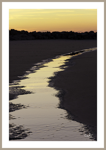
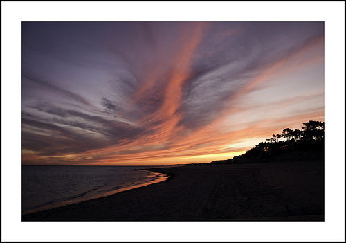
Pictures
Related Locations
Information of geographic nature is based on public data provided by geonames.org, CIA world facts book, Unesco, DBpedia and wikipedia. Weather is based on NOAA GFS.