-
You are here:
- Homepage »
- France »
- Poitou-Charentes » Bourcefranc-le-Chapus

Bourcefranc-le-Chapus Destination Guide
Discover Bourcefranc-le-Chapus in France
Bourcefranc-le-Chapus in the region of Poitou-Charentes with its 3,275 habitants is a town located in France - some 264 mi or ( 425 km ) South-West of Paris , the country's capital .
Local time in Bourcefranc-le-Chapus is now 07:23 AM (Wednesday) . The local timezone is named " Europe/Paris " with a UTC offset of 1 hours. Depending on your flexibility, these larger cities might be interesting for you: Soubise, Saint-Laurent-de-la-Pree, Saint-Froult, Saintes, and Piedemont. When in this area, you might want to check out Soubise . We found some clip posted online . Scroll down to see the most favourite one or select the video collection in the navigation. Are you looking for some initial hints on what might be interesting in Bourcefranc-le-Chapus ? We have collected some references on our attractions page.
Videos
Marennes, l'Île Madame, Fouras
Survol de la charente-Maritime en paramoteur. Les ports ostréicoles de la Seudre, Marennes, la ville fortifiée de Brouage, l'ïle Madame, l'embouchure de la charente, Fouras, le Fort d'Enet, l'Île d'Ai ..
camping la brande Yann's driving Chris's caravan.mpg
le bon esprit d'entraide au camping la brande. Chris arrive d'Angleterre et très fatigué n'arrive plus à manoeuvrer sa "grande" caravane dans les allées du camping. Yann se propose alors de prendre le ..
LA TREMBLADE 2007 - CHARENTE MARITIME ( 17 ) - FRANCE
Montage de photos sur le chenal ostréicole et le port de La Tremblade ( 17 ). ..
Fort Louvois, Traversée 2008
Départ de Fort Louvois ..
Videos provided by Youtube are under the copyright of their owners.
Interesting facts about this location
Seudre
The Seudre is a river in the Charente-Maritime département, southwestern France, flowing into the Atlantic Ocean. Its source is near Saint-Genis-de-Saintonge. It flows northwest through Saint-André-de-Lidon, Saujon and La Tremblade. It flows into the Atlantic Ocean near Marennes. The lower course of the Seudre is brackish, and is used for oyster farming.
Located at 45.80 -1.14 (Lat./Long.); Less than 5 km away
Île Madame
Île Madame is an island in the River Charente estuary on the Atlantic coast of France joined to the mainland by a causeway. The island has an area of four square miles and is unpopulated. Hundreds of Catholic priests were held prisoner on the island during anti-clerical persecution in 1794. A total of 254 died before the survivors were allowed to leave. The priests who were held prisoner and those who died on the island are commemorated during a pilgrimage there each August.
Located at 45.96 -1.11 (Lat./Long.); Less than 12 km away
Oléron
Île d'Oléron is an island off the Atlantic coast of France (due west of Rochefort), on the southern side of the Pertuis d'Antioche strait. It is the second largest French island after Corsica.
Located at 45.90 -1.30 (Lat./Long.); Less than 13 km away
Charente (river)
The Charente is a 381 km long river in southwestern France. Its source is in the Haute-Vienne département at Chéronnac, a small village near Rochechouart. It flows through the departments of Haute-Vienne, Charente, Vienne and Charente-Maritime. The river flows into the Atlantic Ocean near Rochefort.
Located at 45.96 -1.08 (Lat./Long.); Less than 13 km away
Côte Sauvage
The Côte Sauvage [English: Savage Coast], on the Atlantic coast of France, is in the Charente-Maritime department. The coastline starts near La Palmyre, north of Royan, and stretches northwest around the point La Tremblade. L’île d’Oléron, France’s second-largest island (after Corsica) is just off the Côte Sauvage.
Located at 45.74 -1.24 (Lat./Long.); Less than 14 km away
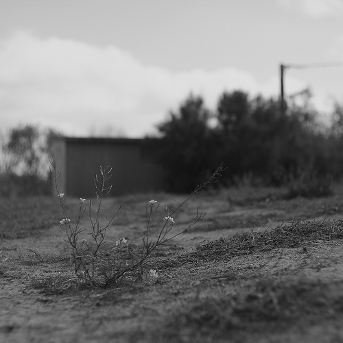
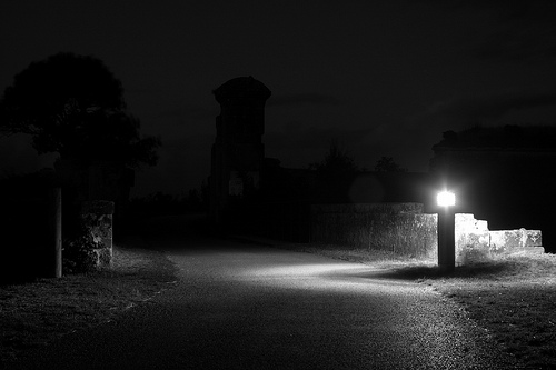
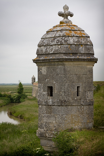
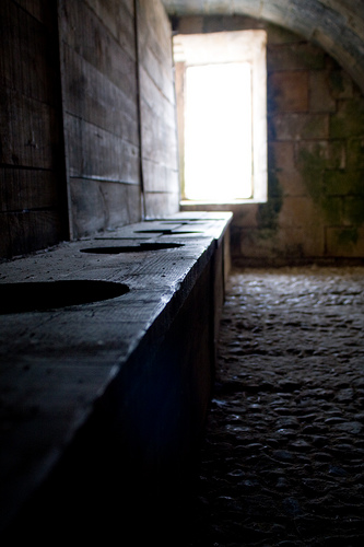
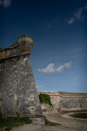
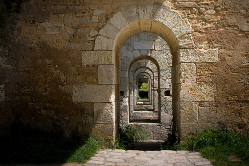
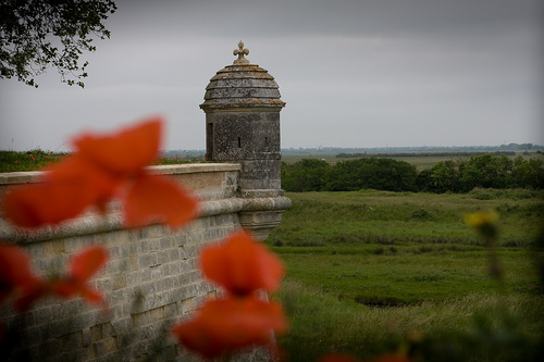
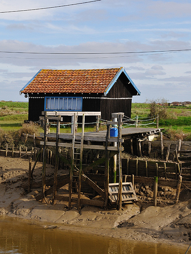
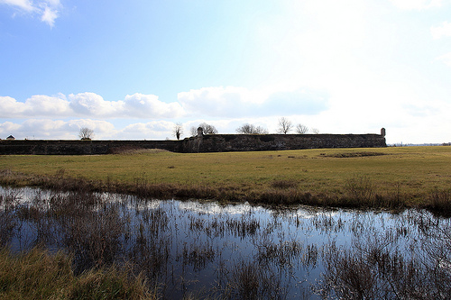
Pictures
Related Locations
Information of geographic nature is based on public data provided by geonames.org, CIA world facts book, Unesco, DBpedia and wikipedia. Weather is based on NOAA GFS.