-
You are here:
- Homepage »
- Germany »
- Mecklenburg-Vorpommern » Selmsdorf

Selmsdorf Destination Guide
Delve into Selmsdorf in Germany
Selmsdorf in the region of Mecklenburg-Vorpommern with its 2,261 residents is located in Germany - some 141 mi or ( 227 km ) North-West of Berlin , the country's capital .
Local time in Selmsdorf is now 07:35 AM (Monday) . The local timezone is named " Europe/Berlin " with a UTC offset of 1 hours. Depending on your mobility, these larger destinations might be interesting for you: Svendborg, Copenhagen, Malmö, Gothenburg, and Timmendorfer Strand. While being here, you might want to check out Svendborg . We discovered some clip posted online . Scroll down to see the most favourite one or select the video collection in the navigation. Are you curious about the possible sightseeing spots and facts in Selmsdorf ? We have collected some references on our attractions page.
Videos
DGzRS Seenotkreuzer Bremen und Seenotrettungsboot Hans Ingwersen in Travemünde im Einsatz
travemuende-video.de Hier findest du mehr über Travemünde und dem Priwall. ..
Travemünde - Trelleborg
Eine Fahrt mit der TT-Line von Deutschland nach Schweden. ..
Meine Überfahrt mit der Priwallfähre von dem Priwall nach Travemünde Ostsee
www.priwall.de Hier findest du mehr Informationen über die Priwall-Fähren und den Priwall ..
Die Priwallfähre Pötenitz zwischen Travemünde und Priwall
www.priwall.de Hier findest du mehr Informationen über die Priwallfähren ..
Videos provided by Youtube are under the copyright of their owners.
Interesting facts about this location
Dassower See
The Dassower See (German for "Dassow lake") is a lake of the delta of Trave bay, northeast of Lübeck on the Baltic Sea. The town of Dassow in the district Nordwestmecklenburg is the only large settlement at the lake bank. The Dassower See (Dassow Lake) is a side bay of the Trave, adjacent to the Baltic Sea.
Located at 53.90 10.92 (Lat./Long.); Less than 4 km away
Baltic Cable
The Baltic Cable is a HVDC power line running beneath the Baltic Sea that interconnects the electric power grids of Germany and Sweden. The Baltic Cable uses a transmission voltage of 450 kV – the highest operating voltage for energy transmission in Germany. The total project cost was 2 billion SEK (US$280 million), and the link was put into operation in December 1994. With length of 250 kilometres, it was the second longest high voltage cable on earth, until Basslink came into service in 2006.
Located at 53.90 10.80 (Lat./Long.); Less than 4 km away
Stepenitz (Mecklenburg)
The Stepenitz is a tributary of the Trave in Mecklenburg-Vorpommern, Germany. The Stepenitz flows from the elongated and narrow Neumühler See, which is in the northwest portion of the city of Schwerin.
Located at 53.92 10.89 (Lat./Long.); Less than 5 km away
Schönberger Land
Schönberger Land is an Amt in the district of Nordwestmecklenburg, in Mecklenburg-Vorpommern, Germany. The seat of the Amt is in Schönberg. Following recent changes to local government boundaries, the Amt Schönberger Land now consists of the following municipalities: Dassow (since January 1, 2005) Grieben Groß Siemz Lockwisch Lüdersdorf Menzendorf Niendorf Papenhusen Roduchelstorf Schönberg (since January 1, 2004) Selmsdorf (since January 1, 2005)
Located at 53.85 10.92 (Lat./Long.); Less than 5 km away
Pötenitzer Wiek
The Pötenitzer Wiek is an eastern bay of the lower Trave east of the Priwall Peninsula, Germany. The bank also partly forms the border between Schleswig-Holstein and Mecklenburg-Vorpommern. Until the Second World War, the Pötenitzer Wiek was a take-off and landing location for domestic seaplanes and functioned as the airport at that time for the Priwall airbase Luftwaffe. The name is due to the Mecklenburgian locality of Pötenitz, which belonged to the city Dassow.
Located at 53.95 10.90 (Lat./Long.); Less than 7 km away
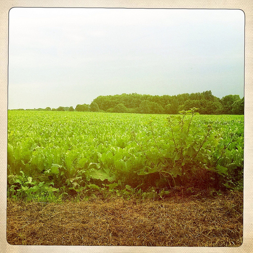
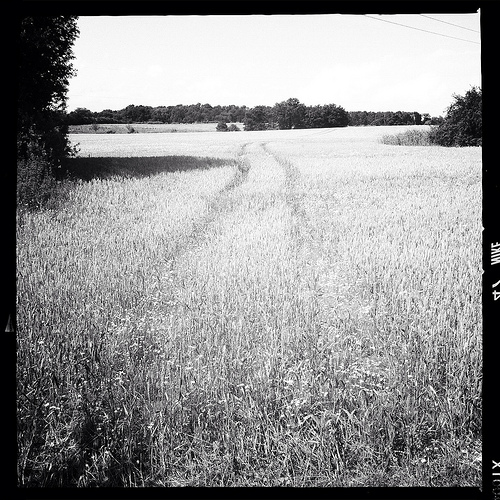
Pictures
Historical Weather
Related Locations
Information of geographic nature is based on public data provided by geonames.org, CIA world facts book, Unesco, DBpedia and wikipedia. Weather is based on NOAA GFS.