-
You are here:
- Homepage »
- Germany »
- Rheinland-Pfalz » Herl

Herl Destination Guide
Touring Herl in Germany
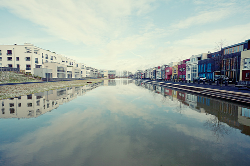
Herl in the region of Rheinland-Pfalz with its 261 citizens is a city located in Germany - some 345 mi or ( 555 km ) South-West of Berlin , the country's capital city .
Time in Herl is now 05:13 AM (Thursday) . The local timezone is named " Europe/Berlin " with a UTC offset of 1 hours. Depending on your travel resources, these more prominent places might be interesting for you: The Hague, Haarlem, Amsterdam, Brussels, and Waldweiler. Being here already, consider visiting The Hague . We collected some hobby film on the internet . Scroll down to see the most favourite one or select the video collection in the navigation. Check out our recommendations for Herl ? We have collected some references on our attractions page.
Videos
Sushi Bar Trier, Germany
Watching some plates go by on a sushi belt ..
2009 Wijnkoningin Weinkönigin
Wijnkoningin 2009 Weinkönigin ..
Andar per rifugi - Val Sarentino
Trasmissione prodotta da Video33/SDF in collaborazione con G.News. Un vademecum per una visita in val Sarentino. ..
Mosel-Spaziergang August 2012
Wir spazieren entlang der Mosel Longuich-Riol Triolago-Longuich-Kirsch-Schweich-Longuich. August 2012 ..
Videos provided by Youtube are under the copyright of their owners.
Interesting facts about this location
Fell Exhibition Slate Mine
The Fell Exhibition Slate Mine is a former slate mine in Germany located about 20 km east from Trier and about 60 km east of Luxembourg (city) near the villages Fell and Thomm. The exhibition mine can be visited every day from April to October. The Exhibition Mine consists of two typical roof slate mines from the early 20th century, situated one above the other, a slate mining trail and a small mining museum.
Located at 49.76 6.80 (Lat./Long.); Less than 3 km away
Ruwer (Verbandsgemeinde)
Ruwer is a Verbandsgemeinde with 18,014 inhabitants (Dez. 2008) on the river Ruwer near Trier in Rhineland-Palatinate, Germany. It is famous for the wine from the wine-growing region Mosel, which previously was called Mosel-Saar-Ruwer, and which was founded by the Romans. The administrative seat (formerly located in Ruwer, which was an independent municipality until it was incorporated into the city Trier) is located in Waldrach since November 2005.
Located at 49.75 6.74 (Lat./Long.); Less than 5 km away
Rösterkopf
The Rösterkopf in the Osburger Hochwald is a mountain with a height of 708 m.
Located at 49.68 6.84 (Lat./Long.); Less than 7 km away
Hinzert concentration camp
Hinzert (SS-Sonderlager Hinzert or Konzentrationslager/KZ Hinzert) was a German concentration camp located in Rhineland-Palatinate, Germany, 30 km from the Luxembourg border. Between 1939 and 1945, 13,600 political prisoners between the ages of 13 and 80 were imprisoned at Hinzert. Many were in transit towards larger concentration camps where most would be killed. However, a significant number of prisoners were executed at Hinzert.
Located at 49.70 6.89 (Lat./Long.); Less than 7 km away
Feller Bach
The Feller Bach is a right tributary of the Moselle River in Rhineland-Palatinate. Its source is in the Hunsrück mountains. It flows through the villages Lorscheid, Fell and Riol. It joins the Moselle in Riol. At the left there is the Thommer Bach in the Nossernvalley with the Fell Exhibition Slate Mine.
Located at 49.80 6.78 (Lat./Long.); Less than 8 km away
Pictures
Historical Weather
Related Locations
Information of geographic nature is based on public data provided by geonames.org, CIA world facts book, Unesco, DBpedia and wikipedia. Weather is based on NOAA GFS.