-
You are here:
- Homepage »
- Greece »
- West Macedonia » Samarina

Samarina Destination Guide
Discover Samarina in Greece
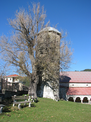
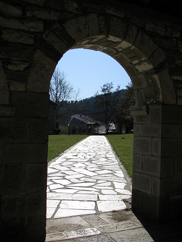
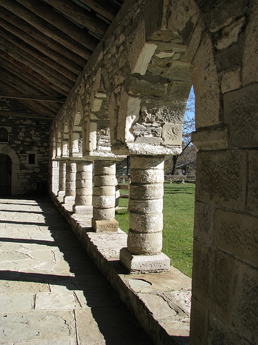
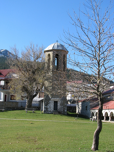
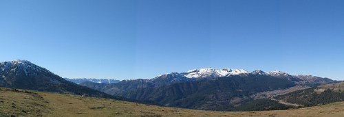
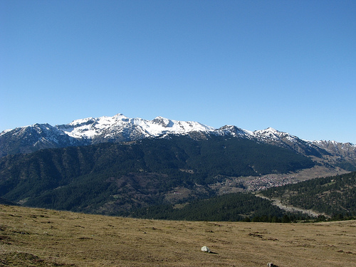
Samarina in the region of West Macedonia with its 839 habitants is a town located in Greece - some 206 mi or ( 332 km ) North-West of Athens , the country's capital .
Local time in Samarina is now 09:39 PM (Monday) . The local timezone is named " Europe/Athens " with a UTC offset of 2 hours. Depending on your flexibility, these larger cities might be interesting for you: Vrysochorion, Perivolion- PREVALE, Laista, Iliochorion, and Avdella. When in this area, you might want to check out Vrysochorion . We found some clip posted online . Scroll down to see the most favourite one or select the video collection in the navigation. Are you looking for some initial hints on what might be interesting in Samarina ? We have collected some references on our attractions page.
Videos
Aris Thessaloniki Amazing team entrance + Bulldog choreo
www.super3.gr-Γιουρόπα Λιγκ 2010/2011/ Aris fans amazing show against Rosenborg ..
VASILO 2009
Freeride Ski in Greece, Vasilitsa 2009 ..
Villa Illios Pool
..
Vasilitsa 2012
Vasilitsa 2012 ..
Videos provided by Youtube are under the copyright of their owners.
Interesting facts about this location
Dilofo, Kozani
Dilofo is a small mountain village located in western Kozani regional unit, in West Macedonia, Greece. It is part of the municipal unit Pentalofos.
Located at 40.17 21.17 (Lat./Long.); Less than 15 km away
Dasyllio
Dasyllio is a small village located in the Grevena regional unit, West Macedonia, Greece. It is part of the municipal unit Kosmas o Aitolos.
Located at 40.16 21.18 (Lat./Long.); Less than 16 km away
Kalloni, Grevena
Kalloni is a traditional mountain village in the municipality of Grevena in the Greek periphery of West Macedonia. It is 29 kilometres from Grevena, at a height of 1080 metres above sea level. The settlement was established in 1690 and officially listed in the archives of the Monastery of Zavorda in 1797. The village was liberated in the Balkan wars in 1912 and renamed to Kalloni in 1926. Its former name was Lountzi.
Located at 40.14 21.20 (Lat./Long.); Less than 16 km away
Trikorfo, Grevena
Trikorfo is a village located in the northwestern part of the Grevena regional unit, Greece. It is part of the municipal unit Agios Kosmas. The 2001 census reported a population of 65.
Located at 40.15 21.22 (Lat./Long.); Less than 18 km away
Greek National Road 20
Greek National Road 20 (Greek: Εθνική Οδός 20, abbreviated as EO20) is a single carriageway road in northwestern Greece. It links the cities of Ioannina and Kozani via Konitsa and Siatista. It passes through the Ioannina, Kastoria and the Kozani regional units. Since the opening of the A2 (Egnatia Odos), it is no longer the fastest connection between Kozani and Ioannina. The section between Ioannina and Kalpaki is part of the European route E853.
Located at 40.20 21.19 (Lat./Long.); Less than 19 km away
Pictures
Historical Weather
Related Locations
Information of geographic nature is based on public data provided by geonames.org, CIA world facts book, Unesco, DBpedia and wikipedia. Weather is based on NOAA GFS.