
Explore Silao in India
Silao in the region of Bihār with its 21,828 inhabitants is a town in India - some 561 mi or ( 903 km ) South-East of New Delhi , the country's capital city .
Current time in Silao is now 07:13 PM (Tuesday) . The local timezone is named " Asia/Kolkata " with a UTC offset of 5.5 hours. Depending on the availability of means of transportation, these more prominent locations might be interesting for you: Rajshahi, Worhanpur, Soh Sarai, Ranchi, and Raipur. Since you are here already, make sure to check out Rajshahi . We encountered some video on the web . Scroll down to see the most favourite one or select the video collection in the navigation. Where to go and what to see in Silao ? We have collected some references on our attractions page.
Videos
DAY 7: (11th Nov) RAJGIR - NALANDA - BODHGAYA
India Buddhist Pilgrimage 5.11.2012 - 15.11.2012 ..
DAY 6:(10th Nov) KUSHINAGA - VASHALI - RAJGIR
India Buddhist Pilgrimage 5.11.2012 - 15.11.2012 ..
INDIEN 05 Bihar.flv
Fahrt durch den indischen Bundesstaat Bihar an den Ganges. Stop in Nalanda. Reisebericht von Hansueli Holzer ..
Rope Way Ride at Rajgir
The rope-way that leads to it Peace Pagoda. Rajgir, Nalanda, Bihar ..
Videos provided by Youtube are under the copyright of their owners.
Interesting facts about this location
Silao, Nalanda
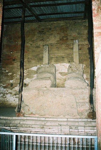
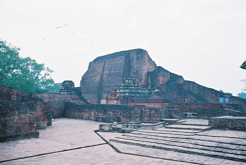
Silao is a city and a notified area in Nalanda district in the Indian state of Bihar. It is known for the excellent Khaja made by its Halwais. It is also the head quarters of a Block, a small administrative unit, by the same name.
Located at 25.08 85.43 (Lat./Long.); Less than 1 km away
Rajgir hills
The Rajgir hills,also known as "Rajhara" hills, lie near the city of Rajgir in central regions of the Indian state of Bihar. The hills consist of two parallel ridges extending around 65 km. At their highest point, the hills rise to an altitude of 388 meters, but most of the hills are around 300 meters high. Between these two ridges lie a number of places of historical importance, dating from the period of the Mahabharata, Gautam Buddha, Mahavira, Mauryas and the Guptas.
Located at 25.02 85.47 (Lat./Long.); Less than 9 km away
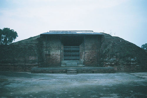
Peace Pagoda
A Peace Pagoda is a Buddhist stupa; a monument to inspire peace, designed to provide a focus for people of all races and creeds, and to help unite them in their search for world peace. Most (though not all) peace pagodas built since World War II have been built under the guidance of Nichidatsu Fujii (1885–1985), a Buddhist monk from Japan and founder of the Nipponzan-Myōhōji Buddhist Order.
Located at 25.00 85.44 (Lat./Long.); Less than 9 km away
Griddhraj Parvat
Griddhraj Parvat (also called, Gridhra-kuta Hill or locally known as Giddhaila Pahar), which literally means the hill of vultures, is a hill of religious, archeological and ecological importance situated in Devrajnagar village of tehsil Ramnagar in Satna district of Madhya Pradesh, India. It is located at a distance of 8 km from Ramnagar town and 65 km from Satna in south direction. Its latitude and longitude are 24°18' North and 81°15' East. The altitude of the hill is 2354 feet.
Located at 25.00 85.45 (Lat./Long.); Less than 10 km away
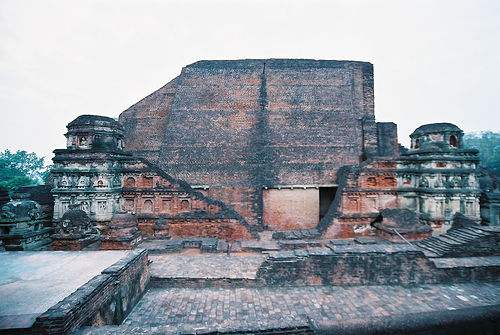
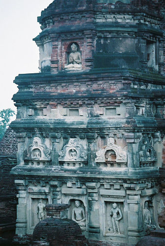
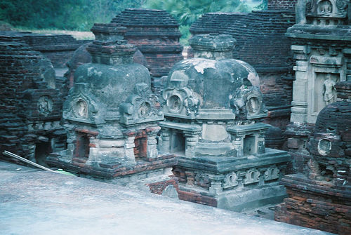
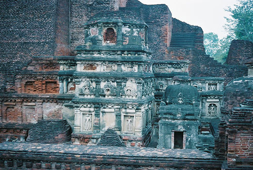
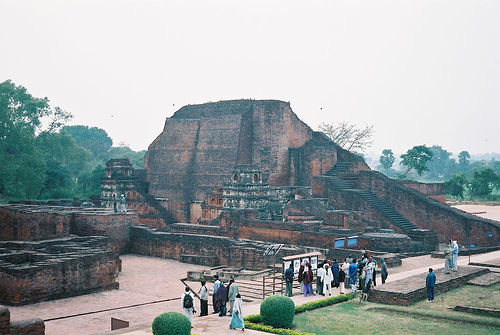
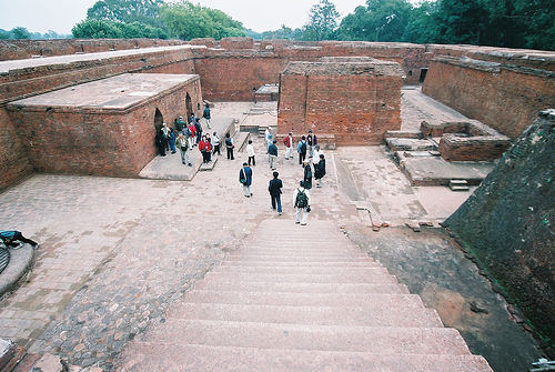
Nalanda district
Nalanda district is one of the thirty-eight districts of Bihar state, India, and Bihar Sharif town is the administrative headquarters of this district. It is currently a part of the Red Corridor.
Located at 25.20 85.52 (Lat./Long.); Less than 17 km away
Pictures
Historical Weather
Related Locations
Information of geographic nature is based on public data provided by geonames.org, CIA world facts book, Unesco, DBpedia and wikipedia. Weather is based on NOAA GFS.