-
You are here:
- Homepage »
- Italy »
- Aosta Valley » Valgrisenche

Valgrisenche Destination Guide
Touring Valgrisenche in Italy
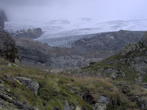
Valgrisenche in the region of Aosta Valley with its 192 citizens is a city located in Italy - some 374 mi or ( 601 km ) North-West of Rome , the country's capital city .
Time in Valgrisenche is now 12:50 AM (Tuesday) . The local timezone is named " Europe/Rome " with a UTC offset of 1 hours. Depending on your travel resources, these more prominent places might be interesting for you: Lausanne, Geneva, Clermont-Ferrand, Chambéry, and Besançon. Being here already, consider visiting Lausanne . We collected some hobby film on the internet . Scroll down to see the most favourite one or select the video collection in the navigation. Check out our recommendations for Valgrisenche ? We have collected some references on our attractions page.
Videos
French, Italian and Swiss Alps - Top of the Alps
Top of the Alps, Cormet de Roseland, Col De Iseran, Petit St. Bernard, Great St. Bernand www.motoadv.gr ..
Rhemes Notre Dame 2008 webcam film
Rhemes Notre Dame 2008 webcam film ..
courchevel france ski trip 2011
..
webcam rhemes notre dame 2009
webcam rhemes notre dame 2009 ..
Videos provided by Youtube are under the copyright of their owners.
Interesting facts about this location
Refuge des Anges au Morion
Refuge des Anges au Morion is a refuge in the Alps in Italy.
Located at 45.62 7.03 (Lat./Long.); Less than 3 km away
Pont d'Aël
The Pont d'Aël is a Roman aqueduct bridge in the village of the same name, in the comune of Aymavilles, in Aosta Valley, Italy. The bridge, constructed in 3 BC, carried water for the agricultural lands of the newly founded colony Augusta Prætoria Salassorum across a side valley, 66 m above the bottom. It belonged to a sophisticated, 6 km long aqueduct, running along the steep cliffs of the valley.
Located at 45.68 7.22 (Lat./Long.); Less than 13 km away
Lago Verney
Lago Verney is a lake at Aosta Valley, Italy. At an elevation of 2088 m, its surface area is 0.203 km².
Located at 45.69 6.88 (Lat./Long.); Less than 16 km away
Refuge de Turia
Refuge de Turia is a refuge of Savoie, France. It lies in the Massif de la Vanoise range. It has an altitude of 2427 metres above sea level.
Located at 45.55 6.87 (Lat./Long.); Less than 17 km away
Tignes-les-Brévières
Tignes-les-Brevières (1550m) is a small skiing village in the French Alps near (but slightly lower than) the better-known ski resort of Val d'Isère. Due to geographical location the village receives as much snowfall as its neighbours and during the 2005/6 season, Les Brevieres had over 4 metres of snow.
Located at 45.51 6.92 (Lat./Long.); Less than 18 km away
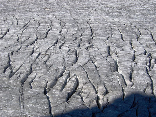
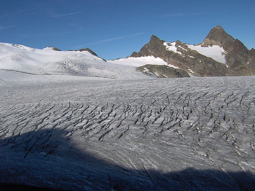
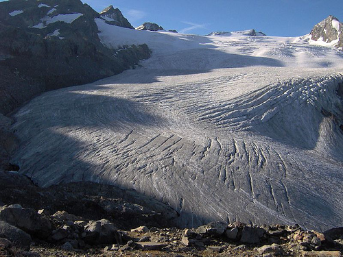
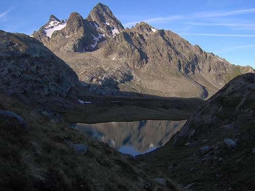
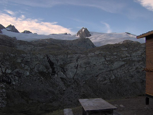
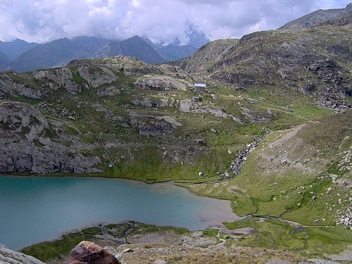
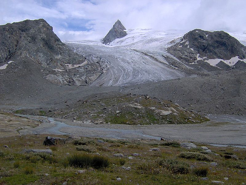
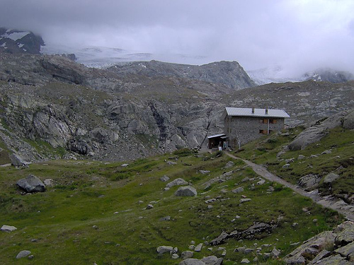
Pictures

Historical Weather
Related Locations
Information of geographic nature is based on public data provided by geonames.org, CIA world facts book, Unesco, DBpedia and wikipedia. Weather is based on NOAA GFS.