
Explore Cucuchucho in Mexico
Cucuchucho in the region of Michoacán is a town in Mexico - some 162 mi or ( 261 km ) West of Mexico City , the country's capital city .
Current time in Cucuchucho is now 09:09 AM (Monday) . The local timezone is named " America/Mexico City " with a UTC offset of -6 hours. Depending on the availability of means of transportation, these more prominent locations might be interesting for you: Toluca, Puebla, Mexico City, Tepic, and Santa Fe de la Laguna. Since you are here already, make sure to check out Toluca . We encountered some video on the web . Scroll down to see the most favourite one or select the video collection in the navigation. Where to go and what to see in Cucuchucho ? We have collected some references on our attractions page.
Videos
Taco stands in Patzcuaro, Michoacan,Mexico
This is a row of my favoite taco stands in the market at Patzcuaro Mexico ..
Painting around Lake Patzcuaro in Michoacan, Mexico
Anthony Holdsworth leads a painting expedition to Lake Patzcuaro in Michoacan, Mexico. This slide show focuses on colonial and indigenous Purepecha culture and the arttists' work. Some Purepecha music ..
Visita de Pátzcuaro ciudad colonial y pueblo magico, Ciudad de Michoacán
Patzcuaro is an enchantment without equal , that is why the ancient inhabitants of Michoacán, in the days of the purépechas kings chose it to be the place of recreation for the indigenous nobility, an ..
Basilica de Nuetra señora de la salud, Patzcuaro, 2007
Es el templo más importante de Pátzcuaro, resultado de varias reconstrucciones. Funcionó como Sede Catedralicia hasta que ésta fue trasladada a Valladolid, hoy Morelia, en 1580. En él se venera a la V ..
Videos provided by Youtube are under the copyright of their owners.
Interesting facts about this location
Lake Pátzcuaro
Lake Pátzcuaro is a lake in the municipality of Pátzcuaro, Michoacán, Mexico. The natives believe that the lake is the place where the barrier between life and death is the thinnest. Lake Pátzcuaro lies in an endorheic basin, which does not drain to the sea. A watershed area of 929 square kilometers drains into the lake, of which 126.4 are the water body. The Lake Pátzcuaro watershed extends 50 kilometers east-west and 33 kilometers from north to south.
Located at 19.63 -101.63 (Lat./Long.); Less than 8 km away
Tzintzuntzan (Mesoamerican site)
Tzintzuntzan was the ceremonial center of the pre-Columbian Tarascan state capital of the same name. The name comes from the P'urhépecha word Ts’intsuntsani, which means "place of hummingbirds". After being in Pátzcuaro for the first years of the Tarascan empire, power was consolidated in Tzintzuntzan in the mid 15th century. The empire continued to grow and hold off attacks by the neighboring Aztec Empire, until the Spanish arrived.
Located at 19.62 -101.57 (Lat./Long.); Less than 8 km away
Tocuaro
Tocuaro is a small village near Lake Pátzcuaro in the Mexican state of Michoacán. {{#invoke:Coordinates|coord}}{{#coordinates:19.539|-101.694|type:city_region:MX|||||| |primary |name= }} 45px This article about a location in the Mexican state of Michoacán is a stub. You can help Wikipedia by expanding it. vte it is 340 km. from Mexico city.
Located at 19.54 -101.69 (Lat./Long.); Less than 9 km away
Erongarícuaro
Erongarícuaro, which means "Place of waiting" in the Purepecha language, is a town in the Mexican state of Michoacán. It is located about an hour and a half drive to Morelia or Uruapan and just 20 minutes from the famous colonial town of Pátzcuaro. The estimated population is about 5,000 people.
Located at 19.58 -101.72 (Lat./Long.); Less than 11 km away
Lake Zirahuén
Lake Zirahuén is a small endorheic lake in the Municipality of Santa Clara del Cobre, Michoacán state of west-central Mexico. Lake Zirahuén is a small, deep mountain lake, with a sandy bottom that is partially covered with mud. At times Lake Zirahuén has been part of an open and continuous hydrological system formed by Lake Cuitzeo, Lake Pátzcuaro and Lake Zirahuén, which drained into the Lerma River.
Located at 19.45 -101.73 (Lat./Long.); Less than 18 km away
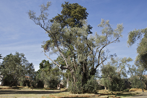
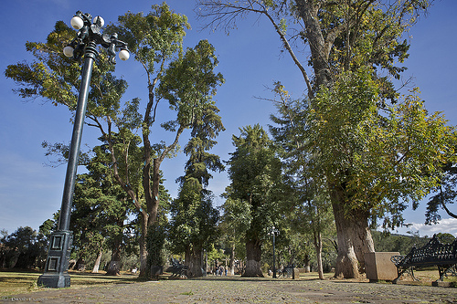
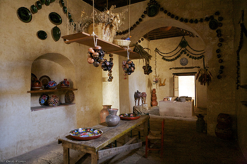
Pictures


Related Locations
Information of geographic nature is based on public data provided by geonames.org, CIA world facts book, Unesco, DBpedia and wikipedia. Weather is based on NOAA GFS.