-
You are here:
- Homepage »
- Netherlands »
- North Holland » Sint Maartensbrug

Sint Maartensbrug Destination Guide
Discover Sint Maartensbrug in Netherlands
Sint Maartensbrug in the region of North Holland is a place located in Netherlands - some 29 mi or ( 47 km ) North of Amsterdam , the country's capital .
Local time in Sint Maartensbrug is now 06:56 AM (Tuesday) . The local timezone is named " Europe/Amsterdam " with a UTC offset of 1 hours. Depending on your mobility, these larger cities might be interesting for you: Utrecht, T Buurtje, Stolpervlotbrug, Sint Maartensvlotbrug, and Sint Maartensbrug. When in this area, you might want to check out Utrecht . We discovered some clip posted online . Scroll down to see the most favourite one or select the video collection in the navigation. Are you looking for some initial hints on what might be interesting in Sint Maartensbrug ? We have collected some references on our attractions page.
Videos
Colourful Tulip Fields in Spring - Holland
Typical Holland landscape with lots of colourful tulip / bulb fields. Filmed with the GY-HM700 in 720p50 XDCAM EX format with a Fujinon 13x wide lens (TH13x3.5BRMU). Thanks for your rates and comments ..
Wassersport in Nordholland
Trailer zur Sendung Holland bewegt uns...! Wassersport in Nordholland. Weitere Informationen zur Sendereihe "Holland bewegt uns...! erhalten Sie unter www.niederlande.de/tv ..
Holland hisTulip & Hyacinth fields
Only once a year the farmers that cultivate tulip and hyacinth bulbs, connect their fields and allow people to hike though these beautifull fields with nice smelling flowers. ..
Callantsoog 08
..
Videos provided by Youtube are under the copyright of their owners.
Interesting facts about this location
Energy Research Centre of the Netherlands
The Energy research Centre of the Netherlands (ECN) is one of the largest energy research institute in Europe and holds a strong international position. With and for the market, ECN develops knowledge and technology that enable a transition to a sustainable energy system. The main office is located in Petten. ECN also has offices in Amsterdam, Eindhoven, Wieringermeer, Brussels and China. ECN has a staff of about 550 employees.
Located at 52.79 4.68 (Lat./Long.); Less than 3 km away
Petten nuclear reactor
The Petten nuclear reactors are nuclear research reactors in Petten, Netherlands. There are two reactors on the premises of the Petten research centre: a high flux reactor and a low flux reactor.
Located at 52.79 4.68 (Lat./Long.); Less than 3 km away
De Stolpen
De Stolpen (sometimes just "Stolpen") is a hamlet in the Dutch province of North Holland. It is part of the municipality of Schagen, and is located about 3 km northwest of the village of Schagerbrug. In 2005, the municipal council of the former municipality of Zijpe decided that the N9 road had to be moved; as a consequence, all of the houses in De Stolpen would have to be demolished. The national government changed this decision in December 2006, which saved the hamlet.
Located at 52.81 4.73 (Lat./Long.); Less than 4 km away
Groeneveld, Netherlands
Groeneveld is a former municipality in the Dutch province of South Holland. It was located to the west of the city of Delft. The municipality covered the Groeneveldse Polder, northwest of De Lier, and contained no towns or villages; only the hamlet of Lierhand. The municipality of Groeneveld was split off from 't Woud in 1817, and only existed until 1855, when it became part of Hof van Delft.
Located at 52.77 4.78 (Lat./Long.); Less than 4 km away
Camperduin
Camperduin is a small village in the Dutch province of North Holland. It is a part of the municipality of Bergen, and lies about 12 km northwest of Alkmaar. In 2001, the village of Camperduin had 151 inhabitants. The built-up area of the village was 0,06 km², and contained 64 residences. The wider statistical area of Camperduin has a population of around 310. The village gave its name to the Battle of Camperdown which took place off the coast.
Located at 52.73 4.65 (Lat./Long.); Less than 7 km away
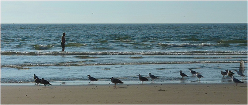
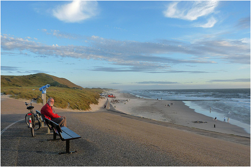
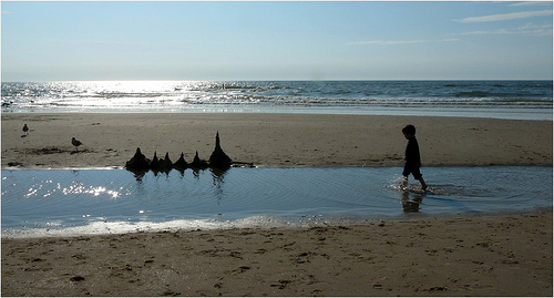
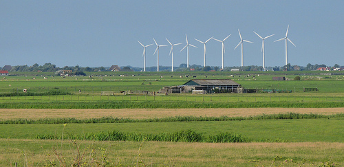
Pictures
Historical Weather
Related Locations
Information of geographic nature is based on public data provided by geonames.org, CIA world facts book, Unesco, DBpedia and wikipedia. Weather is based on NOAA GFS.