-
You are here:
- Homepage »
- Netherlands »
- South Holland » Hoek van Holland

Hoek van Holland Destination Guide
Explore Hoek van Holland in Netherlands
Hoek van Holland in the region of South Holland with its 9,400 inhabitants is a place in Netherlands - some 42 mi or ( 68 km ) South-West of Amsterdam , the country's capital city .
Time in Hoek van Holland is now 03:39 AM (Monday) . The local timezone is named " Europe/Amsterdam " with a UTC offset of 1 hours. Depending on your budget, these more prominent locations might be interesting for you: Utrecht, S-Gravenzande, The Hague, Scheveningen, and Monster. Since you are here already, consider visiting Utrecht . We saw some hobby film on the internet . Scroll down to see the most favourite one or select the video collection in the navigation. Where to go and what to see in Hoek van Holland ? We have collected some references on our attractions page.
Videos
The Stena Hollandica - The Worlds Largest Superferry
The largest ferry of its type in the world the Stena Hollandica launched on the 16th of May 2010 sailing on Stena Line's Harwich to Hook of Holland Route. ..
Stena Line guide to travelling with pets
Stena Lines definitive video guide to pet travel. For more information about dog travel or taking your pet on holiday to Holland by ferry visit the pet travel section of the Stena Line website. www.st ..
The Maersk Sealand Illinois - 2008-11-02
Container ship Maersk Illinois from broker Maersk Sealand is sailing towards Rotterdam. Filmed at the The Maeslantkering, a storm surge barrier in the Nieuwe Waterweg waterway located between the town ..
1996 Hoek van Holland-Harwich op en af rijden Stena Line
Hoek van Holland-Harwich op en af rijden Stena Line 1996 ..
Videos provided by Youtube are under the copyright of their owners.
Interesting facts about this location
Hook of Holland
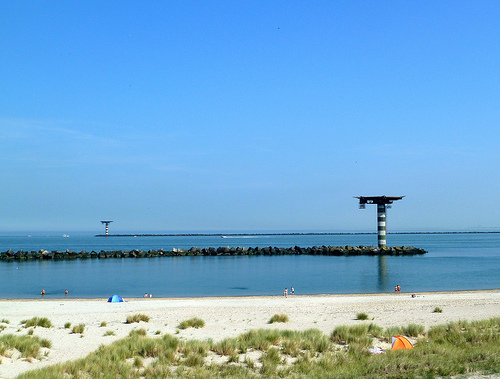
Hook of Holland (- literally "Corner of Holland"), also known as the Hook (De Hoek), is a town in the western Netherlands. It is situated on the North Sea coast, on the north bank of the Nieuwe Waterweg ship canal. The town is administered by the municipality of Rotterdam as a district of that city. Its district covers an area of 16.7 km (of which 13.92 km is land). On 1 January 1999 it had an estimated population of 9,400.
Located at 51.98 4.13 (Lat./Long.); Less than 0 km away
Maeslantkering
The Maeslantkering is a storm surge barrier on the imaginary dividing line between the Nieuwe Waterweg waterway located at Hoek van Holland and the river the Scheur located along the cities of Maassluis and Vlaardingen up to the confluence of the rivers Oude Maas and Nieuwe Maas, Netherlands, {{#invoke:Coordinates|coord}}{{#coordinates:51|57|18.98|N|4|09|49.63|E|region:NL_type:landmark |primary |name= }}, which automatically closes when needed.
Located at 51.96 4.16 (Lat./Long.); Less than 3 km away
Europoortkering
The Europoortkering or barrier of the Europoort is a program of engineering works in addition to the Delta Plan, designed to protect the maritime access routes from the port of Rotterdam and thus, the entire South Holland against storms and tides. The original Delta Plan provided no closure of the Western Scheldt and of the Nieuwe Waterweg to allow access to the ports of Antwerp and Rotterdam.
Located at 51.96 4.16 (Lat./Long.); Less than 3 km away
Maasvlakte Heliport
Maasvlakte Heliport (or Pistoolhaven Heliport) is a small heliport in the Netherlands in the harbour area of the Maasvlakte in the city of Rotterdam. It is exclusively used for maritime piloting services. The heliport moved to a new location in 2007. The old location was on the western edge of the Maasvlakte near the coastline. Adjacent to the old heliport there was an ultralight airport which has now been closed.
Located at 51.96 4.09 (Lat./Long.); Less than 4 km away
Europoort
Europoort (English: Eurogate, also "Europort") is an area of the Port of Rotterdam and the adjoining industrial area in the Netherlands. Being situated at Southside of the mouth of the rivers Rhine and Meuse with the hinterland consisting of the Netherlands, Germany, Belgium and partly France, Europoort is by certain measurements the world's busiest port and considered a major entry to Europe.
Located at 51.94 4.14 (Lat./Long.); Less than 4 km away
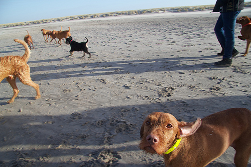
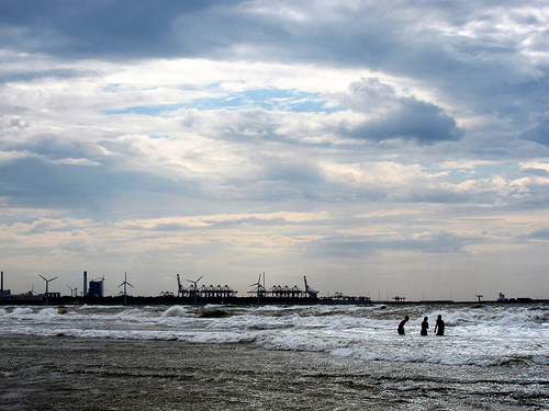
Pictures
Historical Weather
Related Locations
Information of geographic nature is based on public data provided by geonames.org, CIA world facts book, Unesco, DBpedia and wikipedia. Weather is based on NOAA GFS.