-
You are here:
- Homepage »
- Netherlands »
- South Holland » Krimpen aan den IJssel

Krimpen aan den IJssel Destination Guide
Delve into Krimpen aan den IJssel in Netherlands
Krimpen aan den IJssel in the region of South Holland with its 29,017 residents is a city in Netherlands - some 34 mi or ( 54 km ) South of Amsterdam , the country's capital .
Current time in Krimpen aan den IJssel is now 05:15 PM (Thursday) . The local timezone is named " Europe/Amsterdam " with a UTC offset of 1 hours. Depending on your travel modalities, these larger destinations might be interesting for you: Zwijndrecht, Zoetermeer, Utrecht, The Hague, and Rotterdam. While being here, make sure to check out Zwijndrecht . We encountered some video on the web . Scroll down to see the most favourite one or select the video collection in the navigation. Are you curious about the possible sightseeing spots and facts in Krimpen aan den IJssel ? We have collected some references on our attractions page.
Videos
Harry Potter theme park
These are the first out capture and ideas for the park ..
lego filmpje
een tank schiet een man neer en een vliegtuig word in geladen kijk ook eens naar mijn andere filmpjes als het je lukt kun je ook op de link klikken om naar mijn nieuwste filmpje te gaan maar je moet s ..
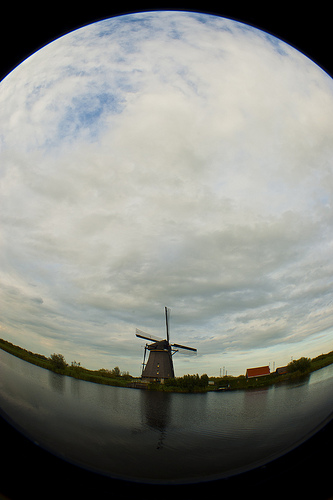
Kinderdijk windmills, world heritage
According to legend, Kinderdijk owes its name to an event in 1421 when a huge mass of water, the Saint Elisabeth flood, inundated everything in the area. At the foot of a dike was a cradle with a cryi ..
Molens van Kinderdijk Mill network - World Heritage
For nearly two centuries the windmills of Kinderdijk have pumped excess water out of the polder. The Mill Network has all the elements of a hydraulic system to keep the land dry: dykes, pumping statio ..
Videos provided by Youtube are under the copyright of their owners.
Interesting facts about this location
Stormpolder
Stormpolder is a polder and a hamlet in the Dutch province of South Holland. It is located about 7 km east of the center of Rotterdam, in the municipality of Krimpen aan den IJssel. It lies between the Nieuwe Maas and Hollandsche IJssel rivers. Stormpolder was a separate municipality between 1817 and 1855, when it became part of Krimpen aan den IJssel.
Located at 51.92 4.58 (Lat./Long.); Less than 1 km away
De Terp (Rotterdam Metro)
De Terp is a subway station on Line C of the Rotterdam Metro and is situated in the town of Capelle aan den IJssel, just east of Rotterdam. It is the northern terminus of the line. The station was opened on May 26, 1994, as part of the extension of the East-West Line or Caland Line from Capelsebrug station. The station consists of an island platform between two tracks.
Located at 51.94 4.60 (Lat./Long.); Less than 2 km away
Krimpen aan de Lek
Krimpen aan de Lek is a town on the Lek River in the municipality Nederlek, province South Holland, the Netherlands. It has 6607 inhabitants in 2008. The name Krimpen comes from the archaic word "Krempener", meaning "river crossing". Therefore Krimpen aan de Lek means "Crossing on the Lek". Krimpen aan de Lek is a quiet and scenic village with 3 elementary schools.
Located at 51.89 4.63 (Lat./Long.); Less than 3 km away
Lek (river)
The Lek is a river in the western Netherlands of some 60 km in length. It is the continuation of the Nederrijn after the Kromme Rijn branches off at the town of Wijk bij Duurstede. The main westbound waterway is hereafter called the Lek River. The Nederrijn is, itself, a distributary branch of river Rhine. The name "Lek" is derived either from the Middle Dutch words "lake" and "leek", meaning "watercourse".
Located at 51.89 4.63 (Lat./Long.); Less than 4 km away
Slikkerveer
Slikkerveer is a village in the municipality of Ridderkerk, South Holland, the Netherlands. In 2004, 8550 people lived in Slikkerveer. It is located about 6 km eastsoutheast of the city of
Located at 51.88 4.62 (Lat./Long.); Less than 4 km away
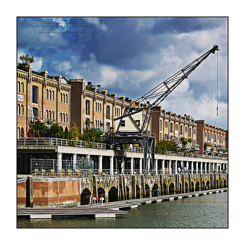
Pictures


Historical Weather
Related Locations
Information of geographic nature is based on public data provided by geonames.org, CIA world facts book, Unesco, DBpedia and wikipedia. Weather is based on NOAA GFS.