-
You are here:
- Homepage »
- Netherlands »
- South Holland » Langeraar

Langeraar Destination Guide
Explore Langeraar in Netherlands
Langeraar in the region of South Holland is a town in Netherlands - some 15 mi or ( 23 km ) South-West of Amsterdam , the country's capital city .
Current time in Langeraar is now 02:23 PM (Saturday) . The local timezone is named " Europe/Amsterdam " with a UTC offset of 1 hours. Depending on the availability of means of transportation, these more prominent locations might be interesting for you: Utrecht, Ter Aar, The Hague, Papenveer, and Langeraar. Since you are here already, make sure to check out Utrecht . We saw some video on the web . Scroll down to see the most favourite one or select the video collection in the navigation. Where to go and what to see in Langeraar ? We have collected some references on our attractions page.
Videos
worlds longest windsurf board
longest board made by joop nederpelt.18mtr. ''the netherlands'' ..
Ulla - Lief Klein Wonder (PREMIERE)
The clip-premiere of the Debut single of Ulla for Ullamusic.nl Official videoclip by T-Riffic's Vision Guest Starring: Jada Video Recorded at: Fox City Theater, Nieuw Vennep Styling & Make-up by: Mari ..
Aalsmeer, Netherlands: Flower Auction
Flowers are big business in Holland. Every day, 21 million flowers are sent from Aalsmeer's flower auction hall to destinations across Europe and around the world. Visitors can take in all the action ..
Henk de Vries, CEO Feadship enjoy, do irresponsible things while you can
The full and exclusive interview with shipbuilder Henk de Vries. Feadship builds luxury yachts and is unique. Where all other shipyards in the world stop, there begins Feadship. A real family business ..
Videos provided by Youtube are under the copyright of their owners.
Interesting facts about this location
Ter Aar
' is a town and former municipality in the western Netherlands, in the province of South Holland. It is located about 6 km northeast of Alphen aan den Rijn. The town had a population of 9,007 on 1 July 2006. The area of Ter Aar is divided into two parts by the small canal De Aar. The western, larger part is named Langeraar (Long Aar), the eastern part Korteraar (Short Aar). These are also the names of two villages in the area.
Located at 52.17 4.72 (Lat./Long.); Less than 3 km away
Leimuiden
Leimuiden is a village in the Dutch province of South Holland. It is located about 9 km south of the town of Hoofddorp, in the municipality of Kaag en Braassem. Leimuiden was a separate municipality until 1991, when it became part of Jacobswoude. The village was part of North Holland until 1865.
Located at 52.22 4.67 (Lat./Long.); Less than 4 km away
Calslagen
Calslagen is a hamlet in the Dutch province of North Holland. It is a part of the municipality of Aalsmeer, and lies about 9 km south of Hoofddorp. Until 1854, Calslagen (then spelled "Kalslagen") was a separate municipality, under the name of Kalslagen en Bilderdam. The statistical area "Calslagen", which covers the hamlet and a large part of the lake area Westeinderplassen, has a population of around 550.
Located at 52.23 4.73 (Lat./Long.); Less than 5 km away
Kalslagen en Bilderdam
Kalslagen en Bilderdam is a former municipality in the Dutch province of North Holland. It existed between 1817 and 1854, and was sometimes simply called Kalslagen. The municipality covered the hamlet of Calslagen and a number of polders to the south, including part of the hamlet of Bilderdam. In 1854, the municipality was divided between Aalsmeer, Uithoorn, and Leimuiden; the hamlet Calslagen itself became a part of the municipality Aalsmeer.
Located at 52.23 4.73 (Lat./Long.); Less than 5 km away
Burgerveen
Burgerveen is a hamlet in the Dutch province of North Holland. It is a part of the municipality of Haarlemmermeer, and lies about 7 km south of Hoofddorp. In 2001, the hamlet of Burgerveen had 215 inhabitants. The built-up area of the town was 0.06 km², and contained 90 residences. The wider statistical area of Burgerveen has a population of around 300.
Located at 52.23 4.68 (Lat./Long.); Less than 5 km away
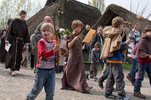
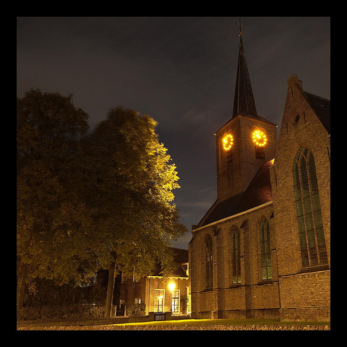
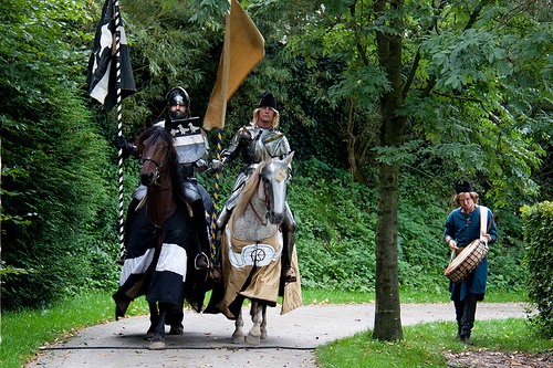
Pictures
Historical Weather
Related Locations
Information of geographic nature is based on public data provided by geonames.org, CIA world facts book, Unesco, DBpedia and wikipedia. Weather is based on NOAA GFS.