-
You are here:
- Homepage »
- Netherlands »
- South Holland » Voorweg

Voorweg Destination Guide
Delve into Voorweg in Netherlands
Voorweg in the region of South Holland is located in Netherlands - some 23 mi or ( 37 km ) South-West of Amsterdam , the country's capital .
Local time in Voorweg is now 06:13 PM (Thursday) . The local timezone is named " Europe/Amsterdam " with a UTC offset of 1 hours. Depending on your mobility, these larger destinations might be interesting for you: Zoetermeer, Voorweg, Utrecht, The Hague, and Rietveld. While being here, you might want to check out Zoetermeer . We discovered some clip posted online . Scroll down to see the most favourite one or select the video collection in the navigation. Are you curious about the possible sightseeing spots and facts in Voorweg ? We have collected some references on our attractions page.
Videos
4/20 Amsterdam Travel Video 2006-2010
My 5 Trips To Amsterdam 2006-2010: Including 2007 Cannabis Cup ..
gladiator fight
in Archeon ..
Wintertrip Waddinxveen
A road trip on Dutch local roads in winter conditions. Because of a codec mismatch the original car sound has been mixed up. Instead, I used "Ice road" from Audio Swap. Map: goo.gl ..
Dick Bruna School Demolition
The demolition of my old school, Dick Bruna School. Formerly know as the Leon van Gelder School. All that remains now is a stretch of grass. I think they are going to build a apartment complex there. ..
Videos provided by Youtube are under the copyright of their owners.
Interesting facts about this location
Hogeveen
Hogeveen is a hamlet in the Dutch province of South Holland. It is located in the municipality of Rijnwoude, about 2 km south of Hazerswoude-Dorp. Hogeveen (then also spelled Hoogeveen) was a separate municipality between 1817 and 1855, when it merged with Benthuizen. The municipality was often called "Hoogeveen in Rijnland" to distinguish it from the municipality Hoogeveen in Delfland, also in South Holland.
Located at 52.08 4.58 (Lat./Long.); Less than 3 km away
Hazerswoude
Hazerswoude is a former municipality in the Dutch province of South Holland. It contained the towns of Hazerswoude-Dorp and Hazerswoude-Rijndijk, and the villages Groenendijk and Bent. Hazerswoude was a separate municipality until 1991, when it became part of Rijneveld.
Located at 52.10 4.58 (Lat./Long.); Less than 3 km away
Noord-Waddinxveen
Noord-Waddinxveen is a former municipality in the Dutch province of South Holland. It covered the northern half of the village Waddinxveen. The municipality existed between 1817 and 1870, when it merged with Zuid-Waddinxveen.
Located at 52.05 4.64 (Lat./Long.); Less than 4 km away
Benthorn
Benthorn is a hamlet in the Dutch province of South Holland. It is located in the municipality of Rijnwoude, about 2 km east of the centre of Benthuizen. Benthorn used to be a heerlijkheid (manor), owned by the States of Holland and West Friesland. It was sold to Adam Adriaan van der Duyn, lord of 's Gravemoer, in 1724. In 1812, Benthorn became a part of the municipality of Hazerswoude, but on 1 April 1817 it became a separate municipality again. According to the 19th century historian A.J.
Located at 52.08 4.56 (Lat./Long.); Less than 4 km away
Gnephoek
Gnephoek is a polder in the Dutch province of South Holland. It is a part of the municipality of Alphen aan den Rijn, and lies about 2 km west of Alphen aan den Rijn. The statistical area "Gnephoek", which also can include the surrounding countryside, has a population of around 250.
Located at 52.13 4.63 (Lat./Long.); Less than 5 km away
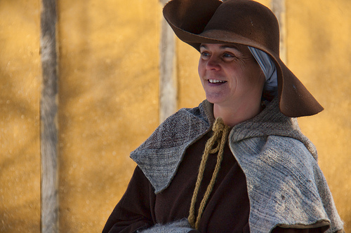
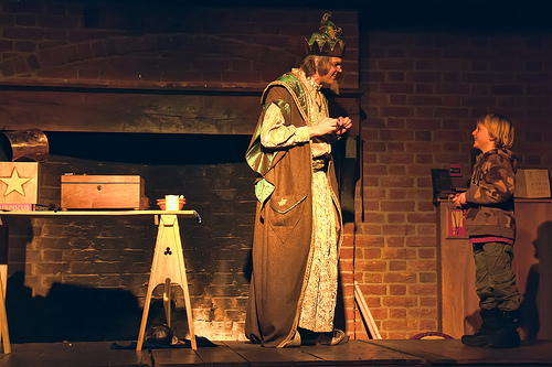
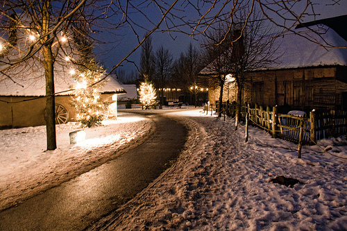
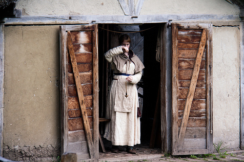
Pictures
Historical Weather
Related Locations
Information of geographic nature is based on public data provided by geonames.org, CIA world facts book, Unesco, DBpedia and wikipedia. Weather is based on NOAA GFS.