-
You are here:
- Homepage »
- New Zealand »
- Waikato » Whangamata

Whangamata Destination Guide
Touring Whangamata in New Zealand
Whangamata in the region of Waikato with its 4,253 citizens is located in New Zealand - some 288 mi or ( 464 km ) North of Wellington , the country's capital city .
Time in Whangamata is now 12:31 PM (Friday) . The local timezone is named " Pacific/Auckland " with a UTC offset of 13 hours. Depending on your budget, these more prominent places might be interesting for you: Puketui, Palmerston North, Opoutere, New Plymouth, and Napier. Being here already, consider visiting Puketui . Check out our recommendations for Whangamata ? We have collected some references on our attractions page.
Videos
Videos provided by Youtube are under the copyright of their owners.
Interesting facts about this location
Whangamata
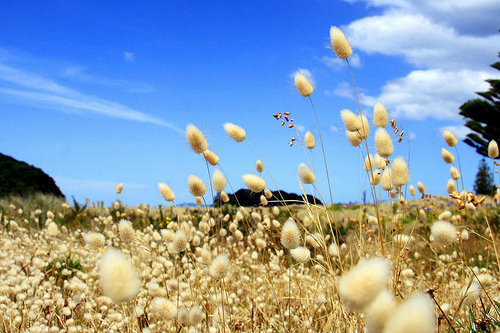
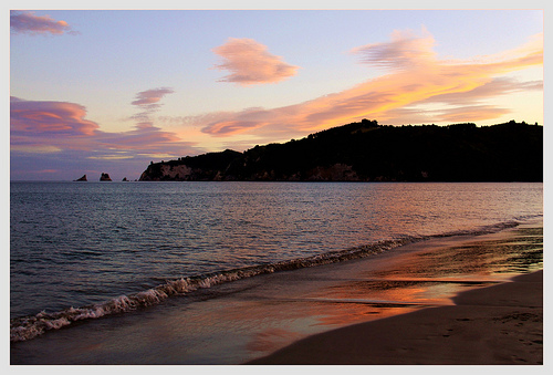
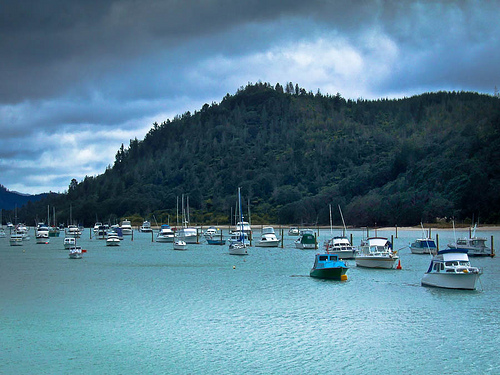
The town of Whangamata is sited on the southeast coast of the Coromandel Peninsula in the North Island of New Zealand. It is located 30 kilometres north of Waihi, to the north of the western extremity of the Bay of Plenty. The population of Whangamata was 3555 in the 2006 Census, a decrease of 408 from 2001. In holiday times the population swells considerably: New Year's celebrations fill the town to over 25,000 though this falls soon after New Year's Day.
Located at -37.20 175.87 (Lat./Long.); Less than 0 km away
Opoutere
Opoutere is a locality and beach on the eastern side of the Coromandel Peninsula of New Zealand. It lies to the east of State Highway 25, south of Pauanui and north of Whangamata. The Wharekawa Harbour lies to the south east. The name "Opoutere" means "place of floating posts".
Located at -37.11 175.87 (Lat./Long.); Less than 10 km away
Hikuai
Hikuai is a small community on the Tairua River towards the base of the Coromandel Peninsula in the North Island of New Zealand. It lies 40 kilometres north of Waihi and 10 kilometres southwest of Tairua, close to the junction of State Highways 25 and 25A, the latter of which is a winding road cutting across the steep Coromandel Range of hills. It is a tourist hot spot in days such as New Zealand Labour Weekend, The Christmas Holidays and especially when Tairua and Pauanui are busy.
Located at -37.08 175.78 (Lat./Long.); Less than 15 km away
Tairua River
The Tairua River is located on the Coromandel Peninsula in the North Island of New Zealand. It flows north and then northeast for a total of 35 kilometres from its source in the Coromandel Range to the west of Whangamata, passing through the town of Hikuai before reaching the Pacific Ocean at Tairua on the peninsula's east coast. The small Shoe Island lies directly opposite the river's mouth, two kilometres into the Pacific.
Located at -37.07 175.82 (Lat./Long.); Less than 15 km away
Slipper Island
Slipper Island or (Whakahau in Māori) is located 3 kilometres to the east of the Coromandel Peninsula in New Zealand's North Island and 8 kilometres southeast of the town of Pauanui. It is a beach resort privately owned by Nora & Abe Needham's 14 children, making it one of the few privately owned islands in New Zealand. The beach resort is 662 acres and guests and tourists use the only habitation on the island, the resort and the family homestead.
Located at -37.05 175.93 (Lat./Long.); Less than 18 km away
Pictures

Historical Weather
Related Locations
Information of geographic nature is based on public data provided by geonames.org, CIA world facts book, Unesco, DBpedia and wikipedia. Weather is based on NOAA GFS.