-
You are here:
- Homepage »
- South Africa »
- Western Cape » Robertson

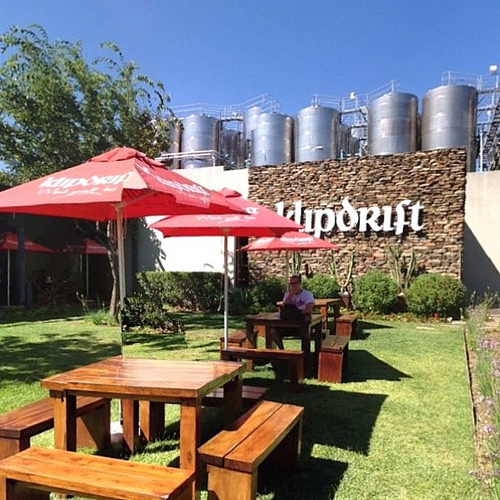
Robertson Destination Guide
Touring Robertson in South Africa
Robertson in the region of Western Cape is a city located in South Africa - some 746 mi or ( 1201 km ) South-West of Pretoria , the country's capital city .
Time in Robertson is now 06:09 PM (Thursday) . The local timezone is named " Africa/Johannesburg " with a UTC offset of 2 hours. Depending on your travel resources, these more prominent places might be interesting for you: Goedgemoed, Voorspoed, Spes Bona, McGregor, and Laatsrivier. Being here already, consider visiting Goedgemoed . Check out our recommendations for Robertson ? We have collected some references on our attractions page.
Videos
Videos provided by Youtube are under the copyright of their owners.
Interesting facts about this location
Skydive Robertson
The Western Province Sport Parachute Club (WPSPC) provides a facility for sports skydiving and student training and is operated and managed on a volunteer basis by a committee elected by its members. The club is a not-for-gain body corporate under common law. WPSPC was officially founded on 8 May 1972, the original operations base was at Modderfontein Farm near Citrusdal.
Located at -33.81 19.90 (Lat./Long.); Less than 2 km away
Robertson Airfield
Robertson Airfield, licensed according to South African Civil Aviation Authority standards, is an unmanned municipal airport situated in 1 km to the east of the Western Cape town of Robertson in South Africa.
Located at -33.81 19.90 (Lat./Long.); Less than 2 km away
Burgers Pass
Burgers Pass, also known as Koo Pass, is situated in the Western Cape province of South Africa, on the Regional road R318 between Montagu and Touws River.
Located at -33.69 19.92 (Lat./Long.); Less than 13 km away
Klipberg Dam
Klipberg Dam is an arch type dam located on the Konings River, near McGregor, Western Cape, South Africa. It was established in 1964 and its main purpose is to serve for irrigation. The hazard potential of the dam has been ranked high (3). It is located in the Breede Water Management Area.
Located at -33.94 19.79 (Lat./Long.); Less than 18 km away
Pietersfontein Dam
Pietersfontein Dam is an arch type dam located on the Keisies River in Western Cape Province, South Africa. It was created in 1968 and serves mainly for irrigation purposes. Its hazard potential has been ranked high (3).
Located at -33.67 20.02 (Lat./Long.); Less than 19 km away
Pictures
Historical Weather
Related Locations

Information of geographic nature is based on public data provided by geonames.org, CIA world facts book, Unesco, DBpedia and wikipedia. Weather is based on NOAA GFS.