-
You are here:
- Homepage »
- Switzerland »
- Valais » Wiler

Wiler Destination Guide
Explore Wiler in Switzerland
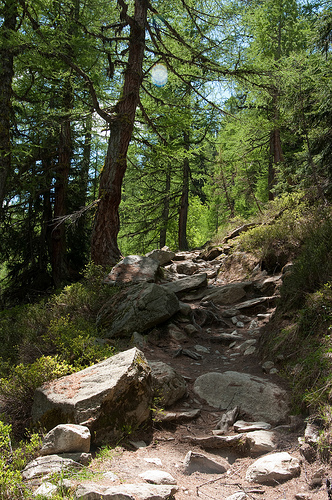
Wiler in the region of Valais with its 541 inhabitants is a town in Switzerland - some 41 mi or ( 66 km ) South-East of Berne , the country's capital city .
Current time in Wiler is now 10:16 PM (Saturday) . The local timezone is named " Europe/Zurich " with a UTC offset of 1 hours. Depending on the availability of means of transportation, these more prominent locations might be interesting for you: Zurich, Visp, Turtmann, Raron, and Niedergesteln. Since you are here already, make sure to check out Zurich . We encountered some video on the web . Scroll down to see the most favourite one or select the video collection in the navigation. Where to go and what to see in Wiler ? We have collected some references on our attractions page.
Videos
BLS Autoverlad
A trip with a BLS Autoverlad car train from Goppenstein to Kandersteg with lovely music from the Swiss Radio channel DRS 1 and one confused TomTom navigator ..
Landing on Glacier Petersgrat in Switzerland
Landing with a airplane on the glacier Petersgrat in the Swiss Alps near Jungfraujoch and Eigernordwand. ..
BLS - Lötschberg South Ramp 2/2
From Brig to Goppenstein on the BLS, Switzerland (Video with Nikon D90) ..
Lauchernalp Lötschental Wallis Zwitserland
Lauchernalp in de Winter ..
Videos provided by Youtube are under the copyright of their owners.
Interesting facts about this location
Lauchernalp
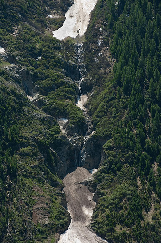
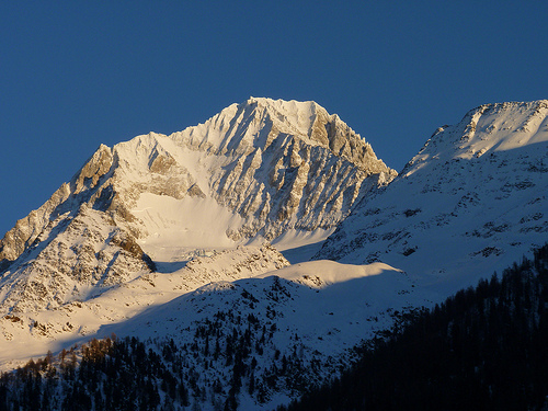
Lauchernalp is an alp and resort area in the Swiss Alps, located in the canton of Valais. It sits on a sunny terrace, between 1,900 and 2,100 metres above sea level, overlooking the Lötschental above Wiler. Lauchernalp mainly belongs to the municipality of Wiler, with a small part belonging to the municipality of Kippel. In winter the resort is car-free and can be reached only by cable car from Wiler. The cable car station is located at a height of 1,969 metres.
Located at 46.41 7.77 (Lat./Long.); Less than 1 km away
Stausee Ferden
Stausee Ferden ("Ferden reservoir") is a reservoir on the Lonza river at Ferden, Valais, Switzerland. Its surface area is 0.106 km².
Located at 46.39 7.76 (Lat./Long.); Less than 3 km away
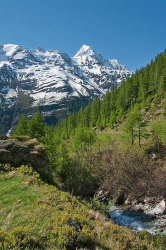
Lötschental
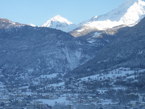
The Lötschental is the largest valley on the northern side of the Rhône valley in the canton of Valais in Switzerland. It lies in the Bernese Alps, with the river Lonza running down the length of the valley from its source within the Langgletscher.
Located at 46.42 7.83 (Lat./Long.); Less than 4 km away
Schwarzsee (Blatten)
Schwarzsee (literally "Black Lake") is a lake at Blatten in the canton of Valais, Switzerland.
Located at 46.43 7.84 (Lat./Long.); Less than 5 km away
Lötschen Pass
The Lötschen Pass (el. 2690 m. ) is a high mountain pass in Switzerland across the Lötschberg, connecting Kandersteg in the canton of Berne and Ferden in the canton of Valais. There is no actual mountain called Lötschberg. The pass lies between the Balmhorn on the west and Hockenhorn on the east. The pass is not accessible for cars, but traffic goes through the Lötschberg Tunnel via railway.
Located at 46.42 7.72 (Lat./Long.); Less than 5 km away
Pictures
Historical Weather
Related Locations
Information of geographic nature is based on public data provided by geonames.org, CIA world facts book, Unesco, DBpedia and wikipedia. Weather is based on NOAA GFS.