-
You are here:
- Homepage »
- United Kingdom »
- England » Bransgore

Bransgore Destination Guide
Delve into Bransgore in United Kingdom
Bransgore in the region of England with its 3,605 residents is located in United Kingdom - some 86 mi or ( 138 km ) South-West of London , the country's capital .
Local time in Bransgore is now 03:12 PM (Tuesday) . The local timezone is named " Europe/London " with a UTC offset of 0 hours. Depending on your mobility, these larger destinations might be interesting for you: West Parley, Southampton, Ripley, Reading, and Portsmouth. While being here, you might want to check out West Parley . We discovered some clip posted online . Scroll down to see the most favourite one or select the video collection in the navigation. Are you curious about the possible sightseeing spots and facts in Bransgore ? We have collected some references on our attractions page.
Videos
Cycle 30 (Jeff Mills) - Utopia
Jeff Mills takes us for a journey that's sometimes dark, sometimes energizing, but always forward-looking. ..
Sammy Seahorse Hoburne Park Christchurch
The Bye Bye Sammy song, at Hoburne Park, Christchurch, Dorset. For more information, or to book a caravan at Hoburne Park, please visit www.hoburneholiday.co.uk ..
Captains Club Hotel - Video Tour
A personal tour of the Captains Club Hotel. Matt Evers from Dancing on Ice, guides you around the Captains Club Hotel in Christchurch, Dorset and shows why it is one of his favourite hotels in the wor ..
Hoburne Park Christchurch
A quick look around Hoburne Park in Christchurch Dorset. For more details, or to rent a caravan on this site, please visit www.hoburneholiday.co.uk ..
Videos provided by Youtube are under the copyright of their owners.
Interesting facts about this location
RAF Holmsley South
RAF Holmsley South is a former World War II airfield in Hampshire, England. The airfield is located approximately 5 miles northeast of Christchurch; about 90 miles southwest of London Opened in 1942, it was used by both the Royal Air Force and United States Army Air Forces. During the war it was used primarily as a bomber and later as a transport airfield. After the war it was closed in late 1946. Today the remains of the airfield are part of a Forestry Commission project near the New Forest.
Located at 50.79 -1.70 (Lat./Long.); Less than 3 km away
Hinton Admiral railway station
Hinton Admiral railway station is a station serving the villages of Bransgore and Hinton and the town of Highcliffe on the Hampshire/Dorset border in southern England. The station is on the stretch of line opened in 1885 between Brockenhurst and Christchurch to provide a direct line from London to Bournemouth, bypassing the original "Castleman's Corkscrew" line via Ringwood and reducing that line to a backwater. There is no village as such that is called Hinton Admiral.
Located at 50.75 -1.71 (Lat./Long.); Less than 4 km away
Hinton Admiral
Hinton Admiral is the estate and ancestral home of the Tapps-Gervis-Meyrick family. It is located in the settlement of Hinton, near Bransgore, Hampshire. The gardens are open to the public by arrangement. The current house was built in 1720 for Sir Peter Mews. The house was remodelled after a fire in 1777. Additional alterations were made by the landscape architect Harold Peto around 1905, who remodelled the interior in an early 18th century style.
Located at 50.75 -1.71 (Lat./Long.); Less than 4 km away
Signals Research and Development Establishment
The Signals Research and Development Establishment (SRDE) was a British government military research establishment, based in Christchurch, Dorset from 1948 until it merged with the Royal Radar Establishment (RRE) in Malvern, Worcestershire to form the Royal Signals and Radar Establishment (RSRE) in 1980. Its focus was military communications (signals).
Located at 50.74 -1.74 (Lat./Long.); Less than 5 km away
RAF Bisterne
RAF Bisterne is a former Royal Air Force Advanced Landing Ground in Hampshire, England. The airfield is located in the hamlet of Bisterne approximately 2 miles south of Ringwood; about 85 miles southwest of London Opened in March 1944, Bisterne was a prototype for the type of temporary Advanced Landing Ground type airfield which would be built in France after D-Day, when the need advanced landing fields would become urgent as the Allied forces moved east across France and Germany.
Located at 50.82 -1.78 (Lat./Long.); Less than 5 km away
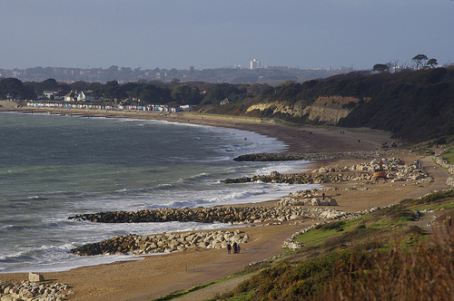
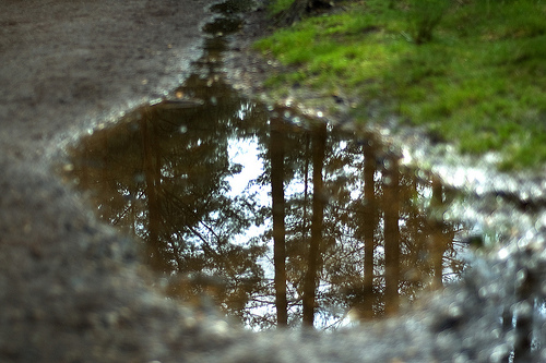
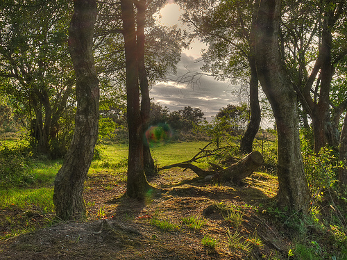
Pictures

Related Locations
Information of geographic nature is based on public data provided by geonames.org, CIA world facts book, Unesco, DBpedia and wikipedia. Weather is based on NOAA GFS.