-
You are here:
- Homepage »
- United Kingdom »
- England » Delabole

Delabole Destination Guide
Delve into Delabole in United Kingdom
Delabole in the region of England is a city in United Kingdom - some 209 mi or ( 336 km ) West of London , the country's capital .
Current time in Delabole is now 12:11 AM (Wednesday) . The local timezone is named " Europe/London " with a UTC offset of 0 hours. Depending on your travel modalities, these larger destinations might be interesting for you: Warleggan, Wadebridge, Truro, Torquay, and Temple. While being here, make sure to check out Warleggan . We encountered some video on the web . Scroll down to see the most favourite one or select the video collection in the navigation. Are you curious about the possible sightseeing spots and facts in Delabole ? We have collected some references on our attractions page.
Videos
tintagel cornwall sunny day
king arthurs castle in tintagel 93 ..
Cornish coastal walk - Boscastle to Tintagel
A walk along the coastline from Boscastle to Tintagel, in which we peer over cliff, walk through windows, find flowers and pick up two bags of litter - all on the Barn international holiday in Cornwal ..
First ever view of the sea - Barn holiday Cornwall
Richard, from land-locked Slovakia, has never seen the sea. So, on the Barn holiday to Cornwall, he agreed we could blindfold him and take him in the minibus to Trebarwith Strand for his first ever vi ..
Waterfall
St Nectans Glen Cornwall ..
Videos provided by Youtube are under the copyright of their owners.
Interesting facts about this location
HMS Vulture II (Treligga Aerodrome)
HMS Vulture II was an aerial bombing and gunnery range at Treligga, 2 km west of Delabole, Cornwall, United Kingdom. The station was a satellite of the Fleet Air Arm base RNAS St Merryn (HMS Vulture) near Padstow, Cornwall. Although HMS Vulture II had landing strips they were however rarely used. Unusually, the entire operation at HMS Vulture II was staffed by the Women's Royal Naval Service.
Located at 50.63 -4.76 (Lat./Long.); Less than 2 km away
Tregardock
Tregardock (Cornish: Tregaradek, meaning homestead of Caradoc) is a coastal settlement and beach in north Cornwall, United Kingdom. It is situated between Trebarwith Strand and Port Gaverne Tregardock was the location of a World War II aerial bombing and gunnery range at Treligga aerodrome. The small beach is accessed by climbing down the cliffs near the settlement of Tregardock.
Located at 50.62 -4.77 (Lat./Long.); Less than 3 km away
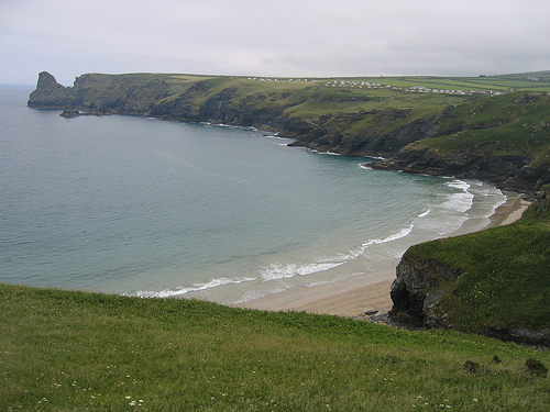
Trebarwith Strand
Trebarwith Strand (locally sometimes shortened to The Strand), is a coastal settlement and section of coastline located on the north coast of Cornwall, United Kingdom, 2+⁄2 miles south of Tintagel. It has 800m of sandy beach, contained by cliffs, in which natural caves are found.
Located at 50.64 -4.76 (Lat./Long.); Less than 3 km away
St Teath
St Teath is civil parish and village in north Cornwall, England, United Kingdom. The village is situated approximately three miles (5 km) southwest of Camelford and seven miles (11 km) northeast of Wadebridge. The hamlet of Whitewell lies to the west. The church is dedicated to Saint Tethe who was one of the twenty-four children of St Brychan, a 4th century Welsh saint and king. The church was a Norman foundation but was rebuilt in the 15th century. It is large, with a nave and two aisles.
Located at 50.59 -4.74 (Lat./Long.); Less than 3 km away
Camelford water pollution incident
The Camelford water pollution incident involved the accidental contamination of the drinking water supply to the town of Camelford, Cornwall, England with 20 tonnes of aluminium sulphate in July 1988, raising the concentration to 3,000 times the admissible level. As the aluminium sulphate broke down it produced several tonnes of sulphuric acid which "stripped a cocktail of chemicals from the pipe networks as well as lead and copper piping in people’s homes.
Located at 50.62 -4.68 (Lat./Long.); Less than 4 km away
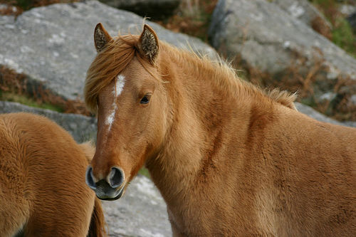
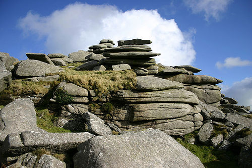
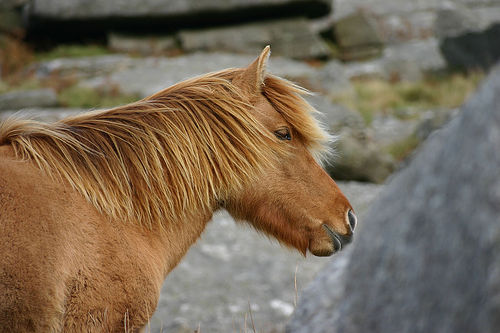
Pictures
Related Locations
Information of geographic nature is based on public data provided by geonames.org, CIA world facts book, Unesco, DBpedia and wikipedia. Weather is based on NOAA GFS.