-
You are here:
- Homepage »
- United Kingdom »
- England » Docking

Docking Destination Guide
Touring Docking in United Kingdom
Docking in the region of England is located in United Kingdom - some 101 mi or ( 163 km ) North of London , the country's capital city .
Time in Docking is now 03:11 PM (Tuesday) . The local timezone is named " Europe/London " with a UTC offset of 0 hours. Depending on your budget, these more prominent places might be interesting for you: West Raynham, Tattersett, Tatterford, South Raynham, and Shernborne. Being here already, consider visiting West Raynham . We collected some hobby film on the internet . Scroll down to see the most favourite one or select the video collection in the navigation. Check out our recommendations for Docking ? We have collected some references on our attractions page.
Videos
A Tour of Bircham Windmill, Norfolk, 02/09/2012
This is a tour of Bircham Windmill in West Norfolk, filmed on 2nd September 2012 on my Fujifilm A235 camera. I have a vast interest in windmills and I believe this is the windmill I have visited the m ..
Videos provided by Youtube are under the copyright of their owners.
Interesting facts about this location
Docking railway station
Docking railway station was a station in Norfolk, serving the village of Docking. It closed in 1952.
Located at 52.91 0.63 (Lat./Long.); Less than 1 km away
Stanhoe railway station
Stanhoe was a railway station which served the village of Stanhoe in Norfolk, England. Opened by the West Norfolk Junction railway in 1866, it closed to passengers in 1952.
Located at 52.91 0.67 (Lat./Long.); Less than 4 km away
RAF Sedgeford
RAF Sedgeford was an Royal Air Force station, located in the East of England county of Norfolk, East Anglia.
Located at 52.90 0.54 (Lat./Long.); Less than 6 km away
Sedgeford railway station
Sedgeford was a railway station which served the settlement of Sedgeford in Norfolk, England. Opened by the West Norfolk Junction railway in 1866, it closed with the line in 1952.
Located at 52.91 0.54 (Lat./Long.); Less than 6 km away
Titchwell Marsh
Titchwell Marsh is an English nature reserve owned and managed by the Royal Society for the Protection of Birds (RSPB). Located on the north coast of the county of Norfolk between the villages of Titchwell and Thornham, about 8 km east of the seaside resort of Hunstanton, its 171 hectares include reed beds, salt marshes, a freshwater lagoon and a sandy beach, with a small area of woodland near the car park.
Located at 52.96 0.60 (Lat./Long.); Less than 7 km away
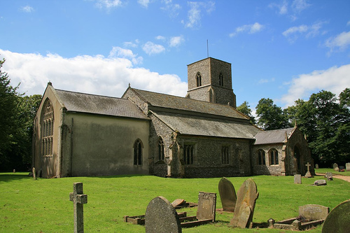
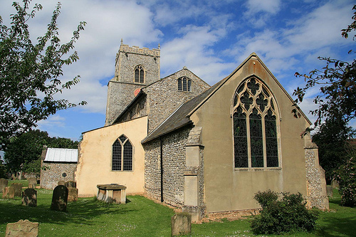
Pictures
Historical Weather
Related Locations
Information of geographic nature is based on public data provided by geonames.org, CIA world facts book, Unesco, DBpedia and wikipedia. Weather is based on NOAA GFS.