-
You are here:
- Homepage »
- United Kingdom »
- England » Goosnargh

Goosnargh Destination Guide
Explore Goosnargh in United Kingdom
Goosnargh in the region of England with its 1,574 inhabitants is a town in United Kingdom - some 192 mi or ( 309 km ) North-West of London , the country's capital city .
Current time in Goosnargh is now 10:22 AM (Saturday) . The local timezone is named " Europe/London " with a UTC offset of 0 hours. Depending on the availability of means of transportation, these more prominent locations might be interesting for you: Woodplumpton, Wolverhampton, Whitewell, Walton le Dale, and Tarleton. Since you are here already, make sure to check out Woodplumpton . We encountered some video on the web . Scroll down to see the most favourite one or select the video collection in the navigation. Where to go and what to see in Goosnargh ? We have collected some references on our attractions page.
Videos
Donkey Lashers finest Hoolies
Tangerine Bastards being escorted out of Englands finest City.FOOK OFF BLACKPOO..... ..
Fresh* - The 1st Birthday Celebration - Event Recap
12 Months ago a new brand in emerged in Lancashire's House Music scene... We started in Blackburn at WarehouseOne (WH1) where we quickly built a loyal and supportive fanbase from the local area. After ..
Preston city -Lancashire- by car
Sightseeing by car ..
Preston City Caribbean Carnival 2010
..
Videos provided by Youtube are under the copyright of their owners.
Interesting facts about this location
Chingle Hall
Chingle Hall is a grade II listed 13th century manor house in the township of Whittingham near Preston, England. The house contains a small private chapel, complete with priest holes, and has been home to several alleged episodes of paranormal activity.
Located at 53.82 -2.69 (Lat./Long.); Less than 1 km away
Whittingham Hospital Railway
The Whittingham Hospital Railway (W.H.R. ) was a private light railway operated by Lancashire County Council to serve Whittingham lunatic asylum. Opened in 1889, it carried goods and passengers between Grimsargh on the Preston and Longridge Railway and the hospital grounds. It closed to all traffic in 1957.
Located at 53.81 -2.64 (Lat./Long.); Less than 2 km away
Preston Rural East
Preston Rural East is an electoral ward in the City of Preston, Lancashire, England. The ward is in the eastern and northeastern part of the city near the M55 motorway moving out towards Sherwood and Grimsargh.
Located at 53.80 -2.64 (Lat./Long.); Less than 3 km away
Sharoe Green
Sharoe Green is a largely residential suburban area of Preston, Lancashire, England and an electoral ward. It is nowadays usually considered to be a district of the larger suburb of Fulwood (and formed part of the pre-1974 Fulwood Urban District). Preston golf course is within the ward boundaries, and the Royal Preston Hospital, now the sole main provider of NHS hospital treatment in the city.
Located at 53.79 -2.71 (Lat./Long.); Less than 4 km away
Preston Rural North
Preston Rural North is an electoral ward in the City of Preston, Lancashire, England. The ward is the largest by area in the city, containing the smaller and smallest villages from the northern areas of Preston, from Woodplumpton bordering the M55 motorway junction at Broughton, to Beacon Fell at the border of the borough of Wyre.
Located at 53.83 -2.73 (Lat./Long.); Less than 4 km away
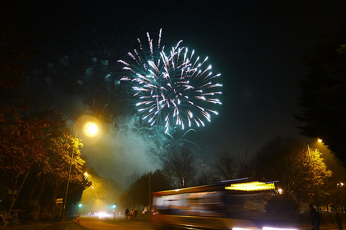
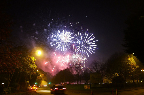
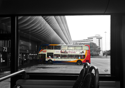
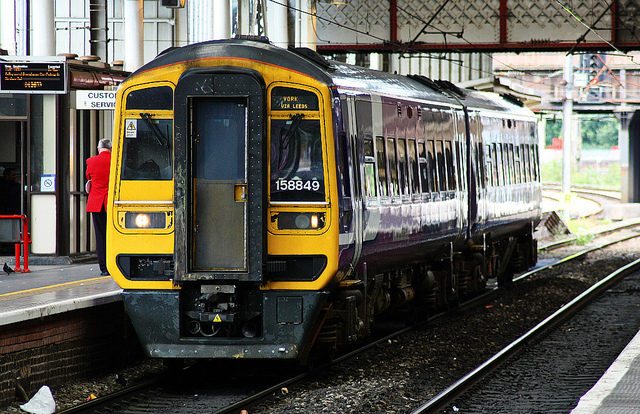
Pictures

Related Locations
Information of geographic nature is based on public data provided by geonames.org, CIA world facts book, Unesco, DBpedia and wikipedia. Weather is based on NOAA GFS.