-
You are here:
- Homepage »
- United Kingdom »
- England » Great Broughton

Great Broughton Destination Guide
Explore Great Broughton in United Kingdom
Great Broughton in the region of England with its 940 inhabitants is a town in United Kingdom - some 208 mi or ( 334 km ) North of London , the country's capital city .
Current time in Great Broughton is now 10:16 AM (Saturday) . The local timezone is named " Europe/London " with a UTC offset of 0 hours. Depending on the availability of means of transportation, these more prominent locations might be interesting for you: York, Whorlton, Thornaby, South Bank, and Sheffield. Since you are here already, make sure to check out York . We saw some video on the web . Scroll down to see the most favourite one or select the video collection in the navigation. Where to go and what to see in Great Broughton ? We have collected some references on our attractions page.
Videos
rs trainsim
A movie for RS TRAINSIM ..
Middlesbrough Netherfields Fulbeck Glentworth House Flats Demolition (Blow Up)
16th Aug 2009 12 noon: "There they are gone!" The demolition of Fulbeck House and Glentworth House in Middlesbrough's Netherfields area. These were built in 1968, each 16 story block contained 90 flat ..
Crimdon Dene. Park resorts. Sparky's krew club. SKC song
On holiday at Crimdon Dene (August 2007). Kids dancing at sparky's krew club (SKC) ..
Eston Nab mast flyaround
R/C electric plane flies around Eston Nab main mast, Carrying DV4 video camera. A couple of circles made to give the pilot chance to walk around the compound fence. Tees estuary, Teesbay, ICI Wilton a ..
Videos provided by Youtube are under the copyright of their owners.
Interesting facts about this location
Stokesley Sports Club F.C
Stokesley Sports Club Football Club is an English association football club based in Stokesley, North Yorkshire currently playing in the Northern League Division Two.
Located at 54.47 -1.18 (Lat./Long.); Less than 3 km away
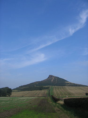
Cringle Moor
Cringle Moor is the third highest hill in the North York Moors, and the highest point west of Clay Bank. The hill is crossed by the Cleveland Way National Trail and is a part of Wainwrights Coast to Coast Walk, which also passes over the neighbouring tops of Cold Moor, Carlton Moor, Live Moor and Hasty Bank—a section of the walk which Wainwright describes as 'one of the finest'. It is also part of the Lyke Wake Walk.
Located at 54.42 -1.17 (Lat./Long.); Less than 3 km away
Stokesley Rural District
Stokesley was a rural district in the North Riding of Yorkshire from 1894 to 1974. It was named after the town of Stokesley, which it contained. http://www. visionofbritain. org. uk/unit_page. jsp?u_id=10042574 The parish was enlarged in 1932 when it took in part of the Middlesbrough Rural District. It lost parts in 1968 with the creation of the Teesside county borough. http://www. visionofbritain. org. uk/relationships.
Located at 54.47 -1.19 (Lat./Long.); Less than 3 km away
Little Ayton
Little Ayton is a village and civil parish in Hambleton district of North Yorkshire, England. It lies immediately south of Great Ayton.
Located at 54.48 -1.13 (Lat./Long.); Less than 4 km away
Great Ayton Friends' School
Great Ayton Friends' School (1841–1997) in Great Ayton, North Yorkshire, England, was an independent, co-educational, agricultural boarding school, run by the Religious Society of Friends (the Quakers). The school was situated on High Green on an estate of around 70 acres in a picturesque setting in the shadow of the Cleveland Hills. The River Leven, ran through the school grounds and was bridged in several places.
Located at 54.49 -1.13 (Lat./Long.); Less than 5 km away
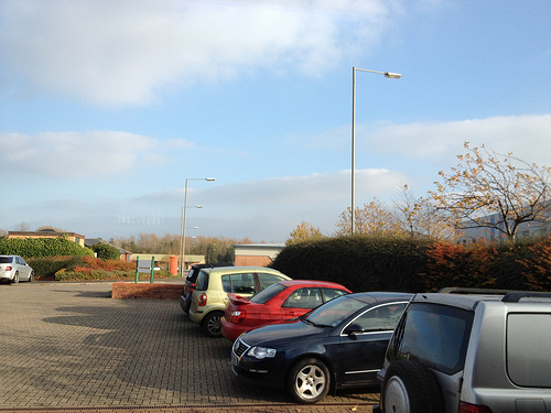
Pictures

Related Locations


Information of geographic nature is based on public data provided by geonames.org, CIA world facts book, Unesco, DBpedia and wikipedia. Weather is based on NOAA GFS.