-
You are here:
- Homepage »
- United Kingdom »
- England » Shawbury

Shawbury Destination Guide
Discover Shawbury in United Kingdom
Shawbury in the region of England with its 2,412 habitants is a town located in United Kingdom - some 139 mi or ( 223 km ) North-West of London , the country's capital .
Local time in Shawbury is now 02:27 PM (Saturday) . The local timezone is named " Europe/London " with a UTC offset of 0 hours. Depending on your flexibility, these larger cities might be interesting for you: Wellington, Stoke upon Tern, Shrewsbury, Sheffield, and Rowton. When in this area, you might want to check out Wellington . We found some clip posted online . Scroll down to see the most favourite one or select the video collection in the navigation. Are you looking for some initial hints on what might be interesting in Shawbury ? We have collected some references on our attractions page.
Videos
Willerby Vogue
Energy efficient PVCu double glazed windows and doors Galvanised heavy duty chassis (twin axle) Gas combi boiler central heating with thermostatic radiators Wall mounted 37" LCD TV Digital DVD recorde ..
2006 Bailey Senator Indiana Series 5
This has to be the cleanest indianna you will ever find having only had one previous owner from new and comes complete with full service history. It has a huge specification full to the brim with grea ..
Alexander Khaskin : Falling leaves
Stunning music track by: Composer Alexander Khaskin. Shock-Wave Sound.com www.alexkhaskin.com Publisher :Lynne Publishing Photography taken by me of places in British Columbia Canada, Paris France, St ..
BK Bluebird Lulworth 2005
BK Bluebird Lulworth 2005. Please note this holiday home is located at our Shrewsbury depot. 2005 6 Berth BK Bluebird Lulworth - 38 x 12 ft Double bedroom with on-suite, Twin bedroom. Gas central heat ..
Videos provided by Youtube are under the copyright of their owners.
Interesting facts about this location
RAF Shawbury
Royal Air Force Station Shawbury or more simply RAF Shawbury is a Royal Air Force station by the village of Shawbury near Shrewsbury, Shropshire.
Located at 52.80 -2.67 (Lat./Long.); Less than 2 km away
Roden, Shropshire
Roden is a hamlet in the borough of Telford and Wrekin and ceremonial county of Shropshire, England. The little River Roden flows past the village. Roden Hall, dating in part from the 14th century, was rebuilt in 1868 by the Co-operative Wholesale Society as a convalescent home for millworkers from Lancashire and Yorkshire, and is now a care home.
Located at 52.74 -2.64 (Lat./Long.); Less than 4 km away
A49 road
The A49 is an A road in western England, which traverses the Welsh Marches region. It runs north from Ross-on-Wye in Herefordshire via Hereford, Leominster, Ludlow, Shrewsbury and Whitchurch, then continues through central Cheshire to Warrington and Wigan before terminating at its junction with the A6 road just south of Bamber Bridge, near the junction of the M6, M65 and M61 motorways.
Located at 52.82 -2.69 (Lat./Long.); Less than 5 km away
High Ercall
High Ercall, also known in the past as Ercall Magna, is a village in the borough of Telford and Wrekin and ceremonial county of Shropshire, England. The civil parish is still called Ercall Magna, and had a total population of 1,679 at the 2001 census. The parish also includes the villages of Rowton, Ellerdine, Cold Hatton, and a number of small hamlets. Its name is locally pronounced "Arkle". The village lies on the junction of the B5062 and B5063 roads.
Located at 52.75 -2.60 (Lat./Long.); Less than 5 km away
Upper Battlefield, Shropshire
Upper Battlefield is a small village in Shropshire, England. It lies on the A49 just north of Battlefield. The Welsh Marches railway line runs through the village, and it lies in the parish of Astley. Recent developments between the village and the town of Shrewsbury have almost merged the two settlements. Upon the recent completion of the new service station and livestock market site at the Battlefield Roundabout, there is only a small field separating the town and Upper Battlefield.
Located at 52.76 -2.72 (Lat./Long.); Less than 5 km away
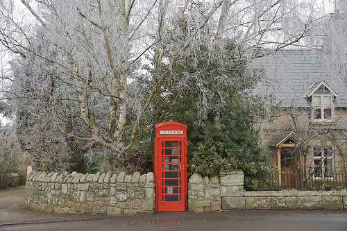
Pictures
Related Locations
Information of geographic nature is based on public data provided by geonames.org, CIA world facts book, Unesco, DBpedia and wikipedia. Weather is based on NOAA GFS.