-
You are here:
- Homepage »
- United Kingdom »
- England » Steyning

Steyning Destination Guide
Touring Steyning in United Kingdom
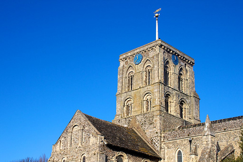
Steyning in the region of England with its 9,713 citizens is located in United Kingdom - some 44 mi or ( 70 km ) South of London , the country's capital city .
Time in Steyning is now 11:18 AM (Saturday) . The local timezone is named " Europe/London " with a UTC offset of 0 hours. Depending on your budget, these more prominent places might be interesting for you: West Chiltington, Storrington, South Lancing, Southampton, and Sompting. Being here already, consider visiting West Chiltington . We collected some hobby film on the internet . Scroll down to see the most favourite one or select the video collection in the navigation. Check out our recommendations for Steyning ? We have collected some references on our attractions page.
Videos
Smarter Cities: Introducing 'The Smarter City' - 1 in a series
www.ibm.com In the first film, a vision of smarter Cities is introduced. UK & Irish cities will only become smarter if collaboration between city constituents takes place. ..
Hazel Woodland - Stuck
Original Song. Played, Sung and Written by Hazel Fay Woodland. It's about this chick I was obsessed with when I was 16. :) ..
De Havilland DHC.1 Chipmunk G-BZGA takeoff
I'm in the back seat as the pilot, Neil Westwood, takes Chipmunk G-BZGA to takoff at Shoreham airfield in Southern England ..
Smashing Pumpkins - Tonight Tonight Piano Cover
Smashing Pumpkins Tonight Tonight Piano Cover. This is my 2nd attempt at a recording and I've finally managed to slow it down - a bit! Hope you like but all feedback is much appreciated. ..
Videos provided by Youtube are under the copyright of their owners.
Interesting facts about this location
Steyning railway station
Steyning railway station was on the Steyning Line which served the small Saxon market town of Steyning.
Located at 50.89 -0.32 (Lat./Long.); Less than 1 km away
Steyning Town F.C
Steyning Town F.C. is a football club based in Steyning, England. They were established in 1892 and joined the Sussex County League in 1964. In 1979, they changed their name from Steyning F.C. to their present name. In the 1984–85 season, they reached the Quarter Finals of the FA Vase. They are currently members of the Sussex County League Division Two. The home ground is known as the Shooting Field and is located next to Steyning Grammar School.
Located at 50.89 -0.33 (Lat./Long.); Less than 1 km away
Wilton Park
Wilton Park is an executive agency of the UK Foreign and Commonwealth Office providing a global forum for strategic discussion. It organises over 50 events a year in the UK and overseas, bringing together leading representatives from the worlds of politics, business, academia, diplomacy, civil society and media. Events focus on issues of international security, prosperity and justice.
Located at 50.90 -0.36 (Lat./Long.); Less than 3 km away
South Downs National Park
The South Downs National Park is England's newest National Park, having become fully operational on 1 April 2011. The park, covering an area of 1,627 square kilometres in southern England, stretches for 140 kilometres from Winchester in the west to Eastbourne in the east through the counties of Hampshire, West Sussex and East Sussex.
Located at 50.91 -0.37 (Lat./Long.); Less than 4 km away
Chanctonbury Ring
Chanctonbury Ring (known as Chanklebury in Sussex dialect) is a hill fort based ring of trees atop Chanctonbury Hill on the South Downs, on the border of the civil parishes of Washington and Wiston in the English county of West Sussex. A ridgeway, now part of the South Downs Way, runs along the hill. Bertrand Russell once remarked that "any view that includes Chanctonbury Ring is a good view".
Located at 50.90 -0.38 (Lat./Long.); Less than 4 km away
Pictures


Related Locations
Information of geographic nature is based on public data provided by geonames.org, CIA world facts book, Unesco, DBpedia and wikipedia. Weather is based on NOAA GFS.