-
You are here:
- Homepage »
- United Kingdom »
- England » Whyteleafe

Whyteleafe Destination Guide
Delve into Whyteleafe in United Kingdom
Whyteleafe in the region of England with its 3,315 residents is located in United Kingdom - some 14 mi or ( 22 km ) South of London , the country's capital .
Local time in Whyteleafe is now 06:08 PM (Tuesday) . The local timezone is named " Europe/London " with a UTC offset of 0 hours. Depending on your mobility, these larger destinations might be interesting for you: Wimbledon, Whyteleafe, Warlingham, London Borough of Wandsworth, and London Borough of Sutton. While being here, you might want to check out Wimbledon . We discovered some clip posted online . Scroll down to see the most favourite one or select the video collection in the navigation. Are you curious about the possible sightseeing spots and facts in Whyteleafe ? We have collected some references on our attractions page.
Videos
My Chemotherapy treatment
Live Life Like a Doughnut ..
Croydon Airport in the 1930s
This short film comes fro m the Beulah footage library and includes music from Beulah CD 1PD19 Historic Grenadiers. For more footage info visit shots.eavb.co.uk For info on Beulah compact discs visit ..
615 Volunteer Gliding Squadron
Based at Royal Air Force Kenley, the famous World War II Battle of Britain airfield, 615 VGS is tasked by Headquarters Air Cadets to provide gliding training for Air Cadets from across the London and ..
Autumn Craft & Beauty Fair 2010 - UK Craft Fairs - the arc - Caterham, Surrey
On the 12th September 2010, crafts people and beauticians grouped together at the Autumn Craft and Beauty Fair at the arc in Caterham. The day saw hundreds of local people enjoying a chance to purchas ..
Videos provided by Youtube are under the copyright of their owners.
Interesting facts about this location
RAF Kenley
The former Royal Air Force Station Kenley, more commonly known as RAF Kenley (now known as Kenley Aerodrome) was a station of the Royal Flying Corps in World War I and the RAF in World War II. It is located near Kenley, London, England.
Located at 51.30 -0.09 (Lat./Long.); Less than 1 km away
Caterham and Warlingham Urban District
Caterham and Warlingham was an Urban District of Surrey in England until 1974. It was formed in 1929 as a merger of the Caterham Urban District with the parish of Warlingham from Godstone Rural District. In 1933 it took in the parishes of Chaldon and Woldingham from Reigate Rural District and Godstone Rural District respectively. It was abolished in 1974 due to the Local Government Act 1972, and now forms part of the district of Tandridge.
Located at 51.30 -0.06 (Lat./Long.); Less than 2 km away
Warlingham F.C
Warlingham Football Club is an English football club based in Warlingham, Surrey. The club are members of Division One of the Combined Counties League, and currently groundshare at Whyteleafe's Church Road ground, due to their Verdayne Sports Ground not being of the required standard for the Combined Counties League. The club is affiliated to the Surrey County Football Association
Located at 51.31 -0.05 (Lat./Long.); Less than 2 km away
Croydon South (UK Parliament constituency)
Croydon South is a parliamentary constituency represented in the House of Commons of the UK Parliament since 1992 by Richard Ottaway, a Conservative.
Located at 51.33 -0.10 (Lat./Long.); Less than 3 km away
London Borough of Croydon
The London Borough of Croydon is a London borough in South London, England and is part of Outer London. It covers an area of 87 km and is the largest London borough by population. It is the southernmost borough of London. At its centre is the historic town of Croydon from which the borough takes its name. Croydon is mentioned in the Domesday Book, and from a small market town has expanded into one of the most populous areas on the fringe of London.
Located at 51.33 -0.08 (Lat./Long.); Less than 3 km away
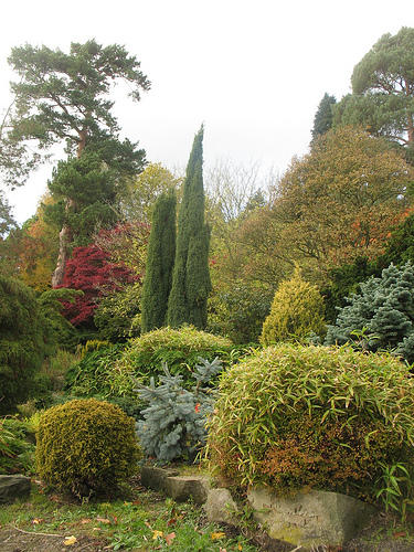
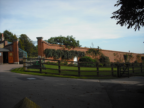
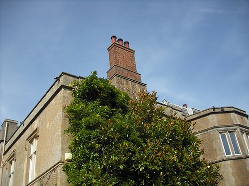
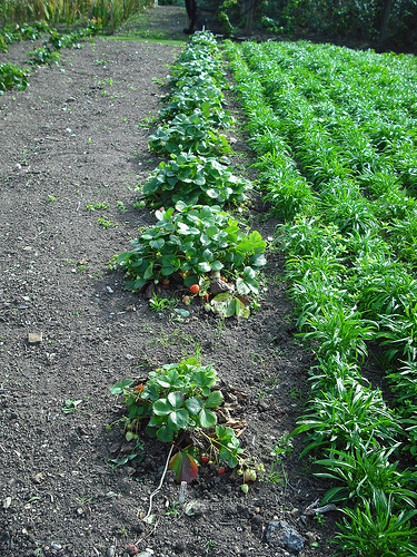
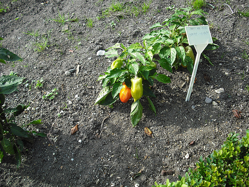
Pictures


Historical Weather
Related Locations
Information of geographic nature is based on public data provided by geonames.org, CIA world facts book, Unesco, DBpedia and wikipedia. Weather is based on NOAA GFS.