-
You are here:
- Homepage »
- United Kingdom »
- Wales » Knighton

Knighton Destination Guide
Explore Knighton in United Kingdom
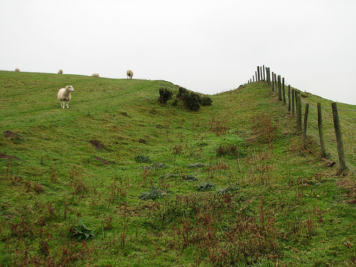
Knighton in the region of Wales with its 2,773 inhabitants is a town in United Kingdom - some 137 mi or ( 221 km ) North-West of London , the country's capital city .
Current time in Knighton is now 12:26 AM (Thursday) . The local timezone is named " Europe/London " with a UTC offset of 0 hours. Depending on the availability of means of transportation, these more prominent locations might be interesting for you: Wolverhampton, Sarn, Newcastle, Manchester, and Mainstone. Since you are here already, make sure to check out Wolverhampton . We encountered some video on the web . Scroll down to see the most favourite one or select the video collection in the navigation. Where to go and what to see in Knighton ? We have collected some references on our attractions page.
Videos
Squire Farm Holiday Cottages
Holiday cottages in South Shropshire. Squire Cottage and Xidong Cottage are part of Squire Farm and located just outside the small village of Chapel Lawn, 16 miles from Ludlow. ..
Knighton Rotary Club at Knighton Show 2010
Take a look at this link for a much better definition video: vimeo.com Annual Knighton Show and Festival, August Bank Holiday 2010 ..
PACK THAT BAG (1/ 3)
Hiking and camping along the historic Offa's Dyke Trail, on the England -Wales border. The scenery, the boredom, the crap food and constant whining of a two-day, 45 kilometre hike from Knighton to Hay ..
Marches Intro Welcome
Text and graphic driven intro to Marches.TV, a new website for the Welsh Marches Region of Shropshire, Herefordshire and Powys, launching in May 2009. ..
Videos provided by Youtube are under the copyright of their owners.
Interesting facts about this location
Knighton, Powys
Knighton is a small market town and community situated chiefly in Powys, Wales, within the historic county boundaries of Radnorshire. Lying on the River Teme, the town straddles the English-Welsh border; Knighton railway station, as well as a small part of the town's built-up area, is located in Shropshire, England. Knighton is the sixth largest town in Powys.
Located at 52.34 -3.05 (Lat./Long.); Less than 1 km away
Offa's Dyke
Offa's Dyke is a massive linear earthwork, roughly followed by some of the current border between England and Wales. In places, it is up to 65 feet wide (including its flanking ditch) and 8 feet high. In the 8th century it formed some kind of delineation between the Anglian kingdom of Mercia and the Welsh kingdom of Powys. Research in recent decades has dispelled many of the earlier theories and ideas about the earthwork.
Located at 52.34 -3.05 (Lat./Long.); Less than 1 km away
Knighton railway station
Knighton railway station serves the market town of Knighton in Powys, Wales, although the station itself is located in Shropshire, England (the boundary is immediately adjacent to the south side of the station). It lies 32+⁄2 miles south west of Shrewsbury (by railway line) on the Heart of Wales Line. The railway station is located below street level at Station Road beside the River Teme and about ⁄2 mile from the centre of the town.
Located at 52.35 -3.04 (Lat./Long.); Less than 1 km away
Milebrook
Milebrook is a hamlet in the Welsh county of Powys.
Located at 52.35 -3.01 (Lat./Long.); Less than 3 km away
Stanage Park
Stanage Park is a park located some 3 miles east of Knighton, Powys and near the settlement of Heartsease. It is an outstanding picturesque parkland laid out by Humphry Repton. The last and most complete of his three recognized Welsh landscape commissions. Repton's picturesque parkland improvements, castellated house and enclosed garden survive almost intact and are recorded in a 'Red Book', still kept at the house.
Located at 52.32 -3.03 (Lat./Long.); Less than 3 km away
Pictures
Related Locations
Information of geographic nature is based on public data provided by geonames.org, CIA world facts book, Unesco, DBpedia and wikipedia. Weather is based on NOAA GFS.