-
You are here:
- Homepage »
- United States »
- Georgia » Saint Simon Mills

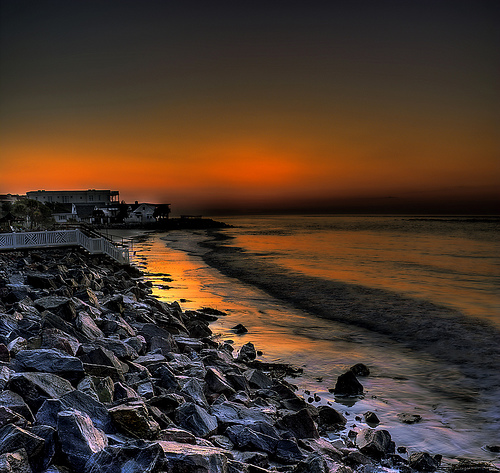
Saint Simon Mills Destination Guide
Discover Saint Simon Mills in United States
Saint Simon Mills in the region of Georgia with its 13,915 habitants is a town located in United States - some 588 mi or ( 946 km ) South-West of Washington , the country's capital .
Local time in Saint Simon Mills is now 08:47 PM (Wednesday) . The local timezone is named " America/New York " with a UTC offset of -4 hours. Depending on your flexibility, these larger cities might be interesting for you: Jacksonville, Lake City, St. Augustine, Tallahassee, and Tampa. When in this area, you might want to check out Jacksonville . We found some clip posted online . Scroll down to see the most favourite one or select the video collection in the navigation. Are you looking for some initial hints on what might be interesting in Saint Simon Mills ? We have collected some references on our attractions page.
Videos
Addictive Fishing: Brunswick Stew - REDFISH in the grass on the flood tide
Capt. Blair travels to Brunswick, Georgia to fish for redfish in the grass on the flood tide with Capt. Scott Owens. NEW SEASON STARTS ON FRIDAY ON SUNSPORTS FRIDAYS @ 10:30am ET SUNDAYS @ 9:30pm ET R ..
Kayak Trip-St Simons Island to Jekyll Island Georgia
Kayak Flotilla from St Simons Island to north end of Jekyll Island Georgia. A safe and guided tour with Southeast Adventures based on St Simons Island and Brunswick Georgia. www.southeastadventure.com ..
US17-Glynn County Georgia - Part 2 - Brunswick
US Highway 17 / Georgia State Route 25 Northbound in Brunswick, GA Starting at the Sidney Lanier Bridge and continuing north past the FJ Torras Causeway. Features of note include two intersections wit ..
Jekyll Island, Georgia vacation shark fishing trip
Georgia shark fishing trip in jekyll island georgia slideshow ..
Videos provided by Youtube are under the copyright of their owners.
Interesting facts about this location
Gascoigne Bluff
Gascoigne Bluff is a bluff next to the Frederica River on the western side of the island of St. Simons which was a Native American campground, the site of a Franciscan monastery named San Buenaventura, and the site of the Province of Georgia's first naval base. It was named for Captain James Gascoigne of the sloop-of-war, HMS Hawk, which lead the first British settlers to the coast of Georgia.
Located at 31.17 -81.41 (Lat./Long.); Less than 1 km away
St. Simons, Georgia
St. Simons is a census-designated place (CDP) located on St. Simons Island in Glynn County, Georgia, United States. Both the community and the island are commonly considered to be one location, known simply as "St. Simons Island", or locally as "The Island". St. Simons is part of the Brunswick, Georgia Metropolitan Statistical Area, and according to the 2000 census, the CDP had a population of 13,381. St. Simons Island is one of Georgia's renowned Golden Isles.
Located at 31.16 -81.39 (Lat./Long.); Less than 2 km away
Malcolm McKinnon Airport
Malcolm McKinnon Airport is a county-owned public-use airport located five miles (8 km) east of the central business district of Brunswick, a city in Glynn County, Georgia, United States. Located on St. Simons Island, it is also known McKinnon St. Simons Island Airport. It was named for Malcom B. McKinnon, chairman of the County Commission when construction started in 1935. The airport opened on May 28, 1938, seven months after his death.
Located at 31.15 -81.39 (Lat./Long.); Less than 3 km away
Battle of Bloody Marsh
The Battle of Bloody Marsh took place on July 18, 1742 between Spanish and British forces in the Province of Georgia, resulting in a victory for the British. Part of a much larger conflict, known as the War of Jenkins' Ear, the battle was for control of St. Simons Island, the British fortifications of Fort Frederica and Fort St. Simons, and the strategic sea routes and inland waters they controlled.
Located at 31.16 -81.38 (Lat./Long.); Less than 3 km away
St. Simons Island Light
The St. Simons Island Light is a lighthouse on the southern tip of St. Simons Island, Georgia, United States. It guides ships into St. Simons Sound and warns of the many sandbars in the area.
Located at 31.13 -81.39 (Lat./Long.); Less than 4 km away
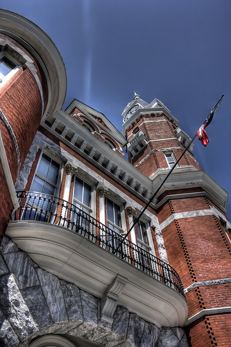
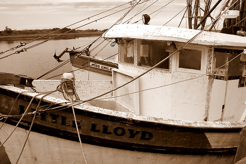
Pictures
Related Locations
Information of geographic nature is based on public data provided by geonames.org, CIA world facts book, Unesco, DBpedia and wikipedia. Weather is based on NOAA GFS.