-
You are here:
- Homepage »
- United States »
- Michigan » Eagle River

Eagle River Destination Guide
Discover Eagle River in United States
Eagle River in the region of Michigan with its 71 habitants is a town located in United States - some 816 mi or ( 1313 km ) North-West of Washington , the country's capital .
Local time in Eagle River is now 09:59 PM (Wednesday) . The local timezone is named " America/Detroit " with a UTC offset of -4 hours. Depending on your flexibility, these larger cities might be interesting for you: Ahmeek, Allouez, Central, Copper City, and Copper Falls. When in this area, you might want to check out Ahmeek . We found some clip posted online . Scroll down to see the most favourite one or select the video collection in the navigation. Are you looking for some initial hints on what might be interesting in Eagle River ? We have collected some references on our attractions page.
Videos
Keweenaw Mi Eagle River Falls
Eagle River Falls keweenaw Michigan 4-11-06 ..
Jacobs Falls
Jacobs Falls- Keweenaw Michigan 11/22/2005 ..
Keweenaw Gratiot River from cliff Drive
Gratiot River from off bridge Keweenaw Michigan 4-22-2006 ..
Beach Near Eagle Harbor, Michigan
Beach Near Eagle Harbor, Michigan in the Keweenaw Peninsula. ..
Videos provided by Youtube are under the copyright of their owners.
Interesting facts about this location
Eagle River, Michigan
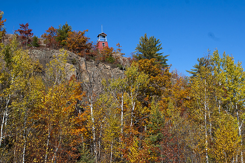
Eagle River is an unincorporated community in the U.S. state of Michigan and is the county seat of Keweenaw County. The community is on M-26 on the north side of the Keweenaw Peninsula, which projects northwards into Lake Superior. It is about 27 miles northeast of Houghton and is situated in the northwest corner of Houghton Township on the mouth of the Eagle River at {{#invoke:Coordinates|coord}}{{#coordinates:47|24|50|N|88|17|45|W| | |name= }}. The ZIP code is 49950.
Located at 47.41 -88.30 (Lat./Long.); Less than 0 km away
Lake Shore Drive Bridge (Michigan)
The Lake Shore Drive Bridge, also known as the M-26 Bridge or the Eagle River Bridge, is a pedestrian bridge in Eagle River, Michigan, crossing the Eagle River. It carried highway M-26 over the river from 1915 until 1990, when the adjacent Eagle River Timber Bridge replaced it for automobile traffic. The Lake Shore Drive Bridge was listed as a Michigan State Historic Site on May 10, 1990.
Located at 47.41 -88.30 (Lat./Long.); Less than 0 km away
Eagle River Timber Bridge
The Eagle River Timber Bridge is a wooden arch bridge carrying highway M-26 over the Eagle River in Eagle River, Michigan. It opened in 1990 as a replacement for the historic Lake Shore Drive Bridge that runs parallel to it.
Located at 47.41 -88.30 (Lat./Long.); Less than 0 km away
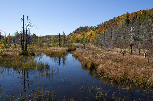
Eagle River (Michigan)
The Eagle River is a 2.6-mile-long stream on the Keweenaw Peninsula of the U.S. state of Michigan. The river flows into Lake Superior in the community of Eagle River. Most of the river lies within Houghton Township. The main branch of the river is formed at the confluence of its East Branch and its West Branch at the community of Phoenix, about two miles southeast of its mouth, and parallels Michigan Route 26 from Phoenix into Eagle River.
Located at 47.39 -88.28 (Lat./Long.); Less than 3 km away
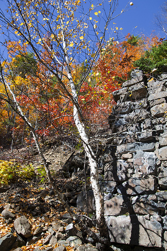
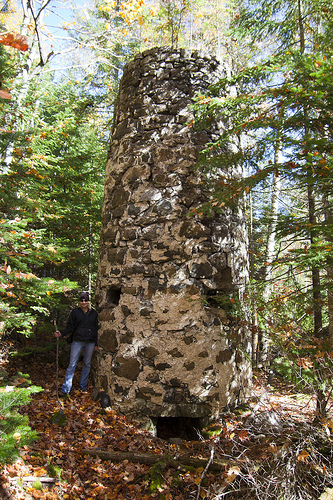
Clifton, Michigan
Clifton was a community in Allouez Township, Keweenaw County, Michigan, that was founded in support of the Cliff mine—a mine opened in 1845 by the Pittsburgh and Boston Mining Company after copper was discovered there. It is located between Calumet and Eagle Harbor, off of Cliff Drive, alongside US 41 in the Keweenaw Peninsula. A historical marker is present at the site.
Located at 47.38 -88.30 (Lat./Long.); Less than 4 km away
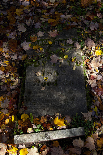
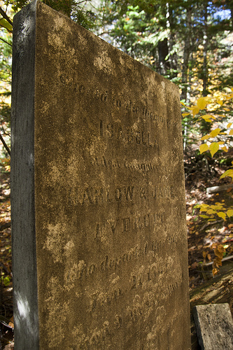
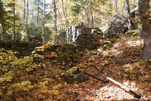
Pictures

Related Locations
Information of geographic nature is based on public data provided by geonames.org, CIA world facts book, Unesco, DBpedia and wikipedia. Weather is based on NOAA GFS.