-
You are here:
- Homepage »
- United States »
- Montana » Cut Bank

Cut Bank Destination Guide
Touring Cut Bank in United States
Cut Bank in the region of Montana with its 2,869 citizens is a city located in United States - some 1,865 mi or ( 3001 km ) West of Washington , the country's capital city .
Time in Cut Bank is now 07:59 AM (Thursday) . The local timezone is named " America/Denver " with a UTC offset of -6 hours. Depending on your travel resources, these more prominent places might be interesting for you: Billings, Butte, Choteau, Conrad, and Great Falls. Being here already, consider visiting Billings . We collected some hobby film on the internet . Scroll down to see the most favourite one or select the video collection in the navigation. Check out our recommendations for Cut Bank ? We have collected some references on our attractions page.
Videos
Empire Builder eastbound Crossing Trestle Cut Bank, MT 2007-11
The eastbound Empire Builder crossing the trestle at Cut Bank, MT 2007-11-04. WS ..
Cessna 310 trip blog - KCTB to KTKI - Part 1
Multi-part video series of a cross-country flight from Cut Bank, Mt to Dallas, Tx in my Cessna 310. Three flights in total: two VFR and one IFR. Please leave comments on Part 1 when finished viewing t ..
Cessna 310 trip blog - KCTB to KTKI - Part 2
Part 2. Takeoff and initial leg. Part 1 located at: www.youtube.com/flyboy98 ..
Empire Builder westbound Crossing Trestle Cut Bank 2008-07
The westbound Empire Builder crossing the trestle at Cut Bank, MT from east side to west side. 2008-07-02. ..
Videos provided by Youtube are under the copyright of their owners.
Interesting facts about this location
Cut Bank, Montana
Cut Bank is a city in and the county seat of Glacier County, Montana, United States located just east-south-east of the "cut bank" geographical feature which formed canyon-like along the eponymously named Cut Bank Creek river. The population was 2,919 at the 2010 census.
Located at 48.63 -112.33 (Lat./Long.); Less than 0 km away
Cut Bank (Amtrak station)
Cut Bank, Montana is a station stop for the Amtrak Empire Builder in Cut Bank, Montana and an important regional railway freight yard for the BNSF Railway—which operates no less than three grain collection elevators in the yard collecting grains from the western great plains region. The station, platform, and parking are owned by Amtrak, while the adjacent Railyard sidings, trackage, and signals are owned and operated by BNSF Railway.
Located at 48.64 -112.33 (Lat./Long.); Less than 1 km away
Cut Bank Municipal Airport
Cut Bank Municipal Airport is a public use airport located three nautical miles (6 km) southwest of the central business district of Cut Bank, a city in Glacier County, Montana, United States. It is owned by Cut Bank and Glacier County. The airport's website refers to it as Cut Bank International Airport. Its first flight took place on 1 June 1941.
Located at 48.61 -112.38 (Lat./Long.); Less than 5 km away
Marias River
The Marias River is a tributary of the Missouri River, approximately 210 mi (338 km) long, in the U.S. state of Montana. It is formed in the Blackfeet Indian Reservation in Glacier County, in northwestern Montana, by the confluence of the Cut Bank Creek and the Two Medicine River. It flows east, through Lake Elwell, formed by the Tiber Dam, then southeast, receiving the Teton River at Loma, 2 mi. (3.2 km) above its confluence with the Missouri.
Located at 48.49 -112.23 (Lat./Long.); Less than 18 km away
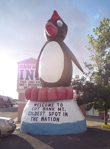
Pictures
Related Locations
Information of geographic nature is based on public data provided by geonames.org, CIA world facts book, Unesco, DBpedia and wikipedia. Weather is based on NOAA GFS.