-
You are here:
- Homepage »
- United States »
- Texas » Port Isabel

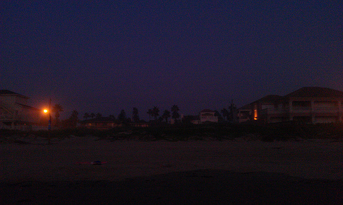
Port Isabel Destination Guide
Discover Port Isabel in United States
Port Isabel in the region of Texas with its 5,006 habitants is a town located in United States - some 1,466 mi or ( 2360 km ) South-West of Washington , the country's capital .
Local time in Port Isabel is now 08:10 AM (Wednesday) . The local timezone is named " America/Chicago " with a UTC offset of -5 hours. Depending on your flexibility, these larger cities might be interesting for you: Los Tomates, La Burrita, El Pando, Bagdad, and Monterrey. When in this area, you might want to check out Los Tomates . We found some clip posted online . Scroll down to see the most favourite one or select the video collection in the navigation. Are you looking for some initial hints on what might be interesting in Port Isabel ? We have collected some references on our attractions page.
Videos
Eye wall of Hurricane Dolly
This is about a 3 minute clip of Hurricane Dolly's eye wall as it was making landfall in Port Isabel, TX. It was a good time... Some of the gusts were probably well over 100mph. ..
Gulfview I & II.wmv
Gulfview I & II condominiums at South Padre Island, Tx.www.vrbo.com www.urentez.com ..
Arkenstone Etching Commercial
Arkenstone etching is Craig McWhinney a resident of the South Padre Island area. His work is in several homes and business on the island. He also plays guitar in the band Pelican West. Catch him at cl ..
Seven Oceans Vessel Departure by www.RedWingAerials.com
Vessel Departure ..
Videos provided by Youtube are under the copyright of their owners.
Interesting facts about this location
KESO
KESO is a radio station broadcasting a Regional Mexican music format. Licensed to South Padre Island, Texas, USA, the station serves the McAllen-Brownsville-Harlingen area. The station is currently owned by Border Media Partners and the broadcast license is held by BMP RGV License Company, LLC.
Located at 26.05 -97.21 (Lat./Long.); Less than 2 km away
Queen Isabella Causeway
The Causeway is the 2nd longest bridge in Texas, stretching 2.37 miles (3.81 km) across the Laguna Madre.
Located at 26.09 -97.19 (Lat./Long.); Less than 2 km away
KCCP-LP
KCCP-LP is a radio station licensed to South Padre Island, Texas, USA. The station is currently owned by Cameron County Texas.
Located at 26.08 -97.16 (Lat./Long.); Less than 4 km away
Laguna Heights, Texas
Laguna Heights is a census-designated place (CDP) in Cameron County, Texas, United States. The population was 1,990 at the 2000 census. It is part of the Brownsville–Harlingen Metropolitan Statistical Area.
Located at 26.08 -97.26 (Lat./Long.); Less than 5 km away
South Bay (Texas)
South Bay is a bay in the Laguna Madre in Texas separated from the Gulf of Mexico by Brazos Island. It is the southernmost bay in Texas, about 1 mi north of the Texas-Mexico Border.
Located at 26.03 -97.18 (Lat./Long.); Less than 5 km away
Pictures


Related Locations
Information of geographic nature is based on public data provided by geonames.org, CIA world facts book, Unesco, DBpedia and wikipedia. Weather is based on NOAA GFS.