-
You are here:
- Homepage »
- Australia »
- New South Wales » Kincumber South

Kincumber South Destination Guide
Discover Kincumber South in Australia
Kincumber South in the region of New South Wales with its 707 habitants is a town located in Australia - some 179 mi or ( 288 km ) North-East of Canberra , the country's capital .
Local time in Kincumber South is now 11:06 AM (Thursday) . The local timezone is named " Australia/Sydney " with a UTC offset of 11 hours. Depending on your flexibility, these larger cities might be interesting for you: The Entrance, Sydney City, Palm Beach, Mount Pleasant, and Long Jetty. When in this area, you might want to check out The Entrance . We found some clip posted online . Scroll down to see the most favourite one or select the video collection in the navigation. Are you looking for some initial hints on what might be interesting in Kincumber South ? We have collected some references on our attractions page.
Videos
St Edwards College Promotional Video
St Edwards College Promotional Video Website www.stedwards.nsw.edu.au ..
MacMASTERS BEACH
Storm clouds are threatening as we have a quick look at MacMasters Beach, New South Wales, Australia. ..
ETTALONG TO PALM BEACH RETURN
A FantSea Ferry ride from Ettalong Beach to Palm Beach is a great way to spend a lazy autumn day. ..
Avoca Beach The Rock Pools
a short clip of avoca's rock pools in new south wales australia ..
Videos provided by Youtube are under the copyright of their owners.
Interesting facts about this location
Bensville, New South Wales
Bensville is a suburb of the Central Coast region of New South Wales, Australia. It is part of the City of Gosford local government area. The main section of Bensville is centred on Kallaroo Road, and consists of a small park, video store, cafe, general store and hairdressers. A small combination of shops have recently been added in 2005. There is a small wharf located at the end of Kallaroo Road, which is a popular local fishing spot.
Located at -33.50 151.38 (Lat./Long.); Less than 2 km away
Davistown, New South Wales
Davistown is a south-eastern suburb of the Central Coast region of New South Wales, Australia. It is part of the City of Gosford local government area. The suburb is serviced by a small shopping centre, Paringa Mall, and the Davistown RSL. It is populated mostly by young families and elderly retirees. In recent years, much of the dilapidated housing in the area, built mostly within the 1950s through to the 1980s has undergone purchasing by wealthier individuals who are rebuilding new homes.
Located at -33.48 151.36 (Lat./Long.); Less than 2 km away
Kincumber, New South Wales
Kincumber is a south-eastern suburb of the Central Coast region of New South Wales, Australia, nested between the Kincumba Mountain Reserve and the local waterway and located 91 kilometres north of Sydney via the Sydney-Newcastle Freeway (F3). It is part of the City of Gosford local government area. A nature reserve, Kincumba Mountain, is located within the suburb and is often used by the community for various functions, including picnicking, bush-walking, orienteering, parties, and carnivals.
Located at -33.47 151.39 (Lat./Long.); Less than 2 km away
Empire Bay, New South Wales
Empire Bay is a suburb on the Central Coast of New South Wales, Australia. It is part of the City of Gosford local government area. Empire Bay was originally known as Sorrento being the name of a large boarding house in the locality. The land was subdivided in 1905. The name changed to Empire Bay in 1908 when a Postal Receiving Office was opened in a building attached to the boarding house.
Located at -33.49 151.36 (Lat./Long.); Less than 2 km away
Saratoga, New South Wales
Saratoga is a peninsula locality of Brisbane Water and a residential south-eastern suburb of the Central Coast region of New South Wales, Australia. It is part of the City of Gosford local government area. The area was first exploited by European settlers for citrus orchards; in recent years, however, housing development has transformed most of Saratoga into an outer residential suburb of Gosford.
Located at -33.47 151.35 (Lat./Long.); Less than 3 km away
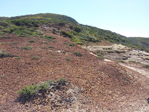
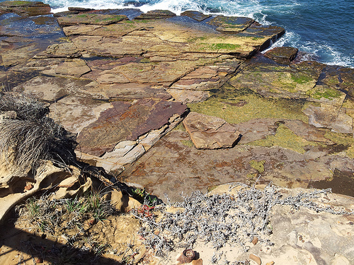
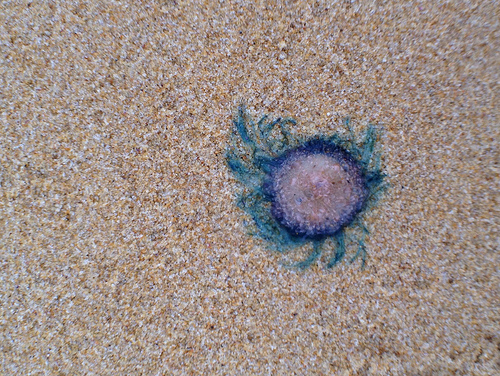
Pictures
Historical Weather
Related Locations
Information of geographic nature is based on public data provided by geonames.org, CIA world facts book, Unesco, DBpedia and wikipedia. Weather is based on NOAA GFS.