
Discover Neebing in Canada
Neebing in the region of Ontario is a town located in Canada - some 675 mi or ( 1087 km ) West of Ottawa , the country's capital .
Local time in Neebing is now 09:21 PM (Sunday) . The local timezone is named " America/Toronto " with a UTC offset of -4 hours. Depending on your flexibility, these larger cities might be interesting for you: Bessemer, Eagle River, Houghton, L-Anse, and Duluth. When in this area, you might want to check out Bessemer . We found some clip posted online . Scroll down to see the most favourite one or select the video collection in the navigation. Are you looking for some initial hints on what might be interesting in Neebing ? We have collected some references on our attractions page.
Videos
Trainz: Freeway Drive
Driving through a town and past a construction site on a freeway behind a rig near an alternate-world version of Thunder Bay, Ontario, Canada, on my (TRANSPORTFAN in Trainz) Rural To City route. This ..
SLEEPING GIANT
THUNDER BAY SLEEPING GIANT (NANABIJOU) ..
Heading Home
After not finding the Gorge, and the noise being that of a machine that cuts down trees we head back to our cars. We have walked 13 KM by this point, and a lot of it was through dense bush. We get los ..
Videos provided by Youtube are under the copyright of their owners.
Interesting facts about this location
Little Trout Bay
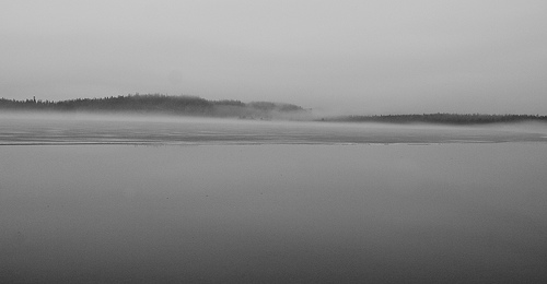
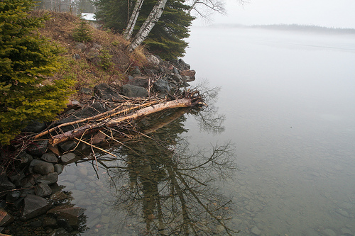
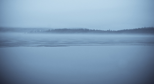
Little Trout Bay (petite baie trout in French) is a bay of Lake Superior located in Neebing Municipality in the Thunder Bay District of the Canadian province of Ontario. The bay is protected as a conservation area. A boat launch provides public access to the lake, south of the city of Thunder Bay. Noted for fishing, Little Trout Bay and the surrounding waters contain salmon, pickerel, whitefish, rainbow trout and lake trout. Anglers visit all year round, including ice fishing in winter.
Located at 48.08 -89.45 (Lat./Long.); Less than 10 km away
Big Thunder Ski Jumping Center
Big Thunder Ski Jumping Center was a twin ski jumping hill located in Thunder Bay in Northwestern Ontario, Canada. It constitutes part of Big Thunder National Training Center. The first hills were built by Knute and Thor Hansen and opened in 1963. They were originally known as Lille Norway Ski Area, then Mt. Norway Ski Area, and Sundance Northwest Resort before taking the current name.
Located at 48.29 -89.38 (Lat./Long.); Less than 14 km away
Loch Lomond (Ontario)
Loch Lomond is a large spring-fed lake located 102 metres above Lake Superior, 6 kilometres south of the city of Thunder Bay, Ontario. It is located in behind Mount McKay, in the Fort William First Nation and Neebing Municipality. Loch Lomond is considered to be a deep oligotrophic lake. The natural re-charge level of Loch Lomond from underground spring water is estimated at 57,100 m per day. It is approximately 9 kilometres long and averages about 1.6 kilometres in width.
Located at 48.27 -89.31 (Lat./Long.); Less than 14 km away
Pigeon Point, Minnesota
Pigeon Point is an isolated peninsula located at the northeast extremity of Minnesota, in Cook County, Minnesota, United States. To the north of the point lies Pigeon Bay, which shares a shoreline with Canada and to the south is Lake Superior. The extreme end of the point is owned by the United States Coast Guard while the land up to the point is held by the Grand Portage Indian Reservation. The closest city to the point is Grand Portage, Minnesota which lies thirteen miles to the west.
Located at 48.01 -89.49 (Lat./Long.); Less than 19 km away
Fort William First Nation
Fort William First Nation is an Ojibway First Nation south of and adjacent to Thunder Bay, Ontario, Canada. As of January 2008, the First Nation had a registered population of 1,798 people, of which their on-Reserve population was 832 people. Fort William First Nation has a two rink arena which is home to the Thunder Bay Bearcats of the Superior International Junior Hockey League and has a fitness centre overlooking rink 1.
Located at 48.31 -89.27 (Lat./Long.); Less than 19 km away
Pictures


Related Locations
Information of geographic nature is based on public data provided by geonames.org, CIA world facts book, Unesco, DBpedia and wikipedia. Weather is based on NOAA GFS.