-
You are here:
- Homepage »
- France »
- Basse-Normandie » Sacey

Sacey Destination Guide
Explore Sacey in France
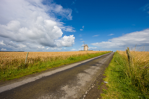
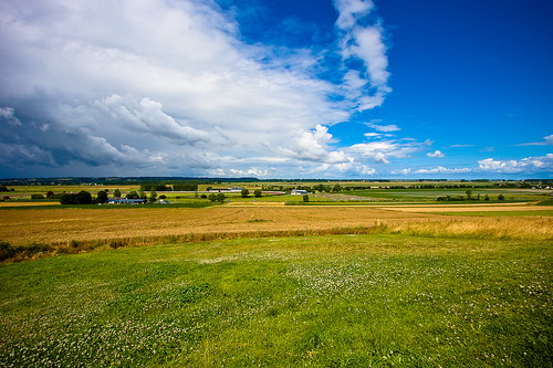
Sacey in the region of Basse-Normandie with its 529 inhabitants is a town in France - some 175 mi or ( 282 km ) West of Paris , the country's capital city .
Current time in Sacey is now 09:59 AM (Saturday) . The local timezone is named " Europe/Paris " with a UTC offset of 1 hours. Depending on the availability of means of transportation, these more prominent locations might be interesting for you: London, Cambridge, Bristol, Birmingham, and Tremblay. Since you are here already, make sure to check out London . We saw some video on the web . Scroll down to see the most favourite one or select the video collection in the navigation. Where to go and what to see in Sacey ? We have collected some references on our attractions page.
Videos
R1200RT BRETAÑA.AVI
Camino al Mont Saint Michael ..
Boston Spa's Miss Ashton Screaming
A Teacher at Boston Spa School Screams on a trip to France from the 12th July- 17th. Miss Ashton. Boston Spa School. ..
Holiday in Normandie, France
Highlights from my trip to France in 2011. A fascinating journey through Normandie with a day in Paris to finish. www.frenchaffair.com.au ..
Mont St Michel Kensjunkmail's photos around Pontorson, France (biscuiterie mont st michel)
Preview of Kensjunkmail's blog at TravelPod. Read the full blog here: www.travelpod.com This blog preview was made by TravelPod using the TripAdvisor™ TripWow slideshow creator. Learn more about these ..
Videos provided by Youtube are under the copyright of their owners.
Interesting facts about this location
Pontorson Airfield
Pontorson Airfield is an abandoned World War II military airfield, which is located near the commune of Pontorson in the Basse-Normandie region of northern France. Located just outside of Pontorson (likely to the northeast), the United States Army Air Force established a temporary airfield on 7 August 1944, shortly after the Allied landings in France The airfield was constructed by the IX Engineering Command, 819th Engineer Aviation Battalion.
Located at 48.54 -1.50 (Lat./Long.); Less than 5 km away
Saint James Airfield
Saint James Airfield is an abandoned World War II military airfield, which is located near the commune of Saint-James in the Brittany region of northern France. Located just outside of Saint-James, the United States Army Air Force established a temporary airfield on 8 August 1944, shortly after the Allied landings in France The airfield was constructed by the IX Engineering Command, 825th Engineer Aviation Battalion.
Located at 48.52 -1.32 (Lat./Long.); Less than 10 km away
Brittany American Cemetery and Memorial
The Brittany American Cemetery and Memorial is located in Saint-James, Normandy, France, near the northeastern edge of Brittany. It contains the remains of 4,410 of World War II American soldiers, most of whom lost their lives in the Normandy and Brittany campaigns of 1944. Along the retaining wall of the memorial terrace are inscribed the names of 498 of the missing. Rosettes mark the names of soldiers who have been found.
Located at 48.52 -1.30 (Lat./Long.); Less than 11 km away
Couesnon
The Couesnon River is a river running from the département of Mayenne in north-western France, forming an estuary at Mont Saint-Michel. Its final stretch forms the border between the historical duchies of Normandy and Brittany.
Located at 48.62 -1.51 (Lat./Long.); Less than 13 km away
Sélune
Selûne is a fictional goddess in the Forgotten Realms setting of Dungeons & Dragons. Also known as Our Lady of Silver and the Moonmaiden, she is the Faerûnian goddess of light, the moon, stars, navigation, navigators, wanderers, questers, and goodly lycanthropes. Clerics of Selûne are a very diverse group, including sailors, nonevil lycanthropes, mystics, and female spellcasters.
Located at 48.65 -1.40 (Lat./Long.); Less than 16 km away
Pictures
Related Locations
Information of geographic nature is based on public data provided by geonames.org, CIA world facts book, Unesco, DBpedia and wikipedia. Weather is based on NOAA GFS.