-
You are here:
- Homepage »
- United Kingdom »
- England » Rillington

Rillington Destination Guide
Delve into Rillington in United Kingdom
Rillington in the region of England is a city in United Kingdom - some 185 mi or ( 297 km ) North of London , the country's capital .
Current time in Rillington is now 01:48 AM (Saturday) . The local timezone is named " Europe/London " with a UTC offset of 0 hours. Depending on your travel modalities, these larger destinations might be interesting for you: York, Wharram Percy, West Lutton, West Heslerton, and Sheffield. While being here, make sure to check out York . We encountered some video on the web . Scroll down to see the most favourite one or select the video collection in the navigation. Are you curious about the possible sightseeing spots and facts in Rillington ? We have collected some references on our attractions page.
Videos
Pickering War Weekend 1940's 2010
jokinarnya@yahoo.co.uk...........All of these photograghs were taken on the Sunday 17.10.10 at the Pickering WW2 weekend. It was my first time at one of these events, but certainly not the last.. Than ..
A Tank in Pickering Market Place
This is a video of a tank in Pickering Market Place shot during the 1940's weekend of 2008. ..
Kumali Roller Coaster POV, Flamingoland Theme Park, UK
A POV video shot on the front of the Kumali Roller Coaster at Flamingoland Theme Park and Zoo, near Malton, Yorkshire, UK. ..
Cinque Ports Lindy Hoppers at Pickering 2011
On a clear sunny afternoon in Pickering, North Yourkshire, at the 2011 "War Weekend" I encountered what appeared to be a group of people dancing in the street and enjoying themselves - they were certa ..
Videos provided by Youtube are under the copyright of their owners.
Interesting facts about this location
All Saints Church, Thorpe Bassett
All Saints Church, Thorpe Bassett, is located in the village of Thorpe Bassett, North Yorkshire, England. It is an active Anglican parish church in the deanery of Southern Ryedale, the archdeaconry of York, and the diocese of York. Its benefice is united with those of five other local churches to form the Benefice of Buckrose Carrs. The church has been designated by English Heritage as a Grade II* listed building.
Located at 54.15 -0.69 (Lat./Long.); Less than 1 km away
Scampston Hall
Scampston Hall is a Grade II* listed country house in North Yorkshire, England, with a serpentine park designed by Charles Bridgeman and Capability Brown. It is located on the north side of the A64 Leeds/Scarborough road, 4 miles (6 km) east of Malton, in Scampston village, whose name was variously written in ancient documents, Scamestun, Skameston, Skameston, and Skampston, and which was probably been derived from a personal name.
Located at 54.17 -0.68 (Lat./Long.); Less than 2 km away
River Rye, Yorkshire
The River Rye is a river in the English county of North Yorkshire. It rises just south of the Cleveland Hills, east of Osmotherley, and flows through Hawnby, Rievaulx, Helmsley, Nunnington, West and East Ness, Butterwick, Brawby, and Ryton, before joining the River Derwent at {{#invoke:Coordinates|coord}}{{#coordinates:54|10|N|00|44|W||| | |name= }} near Malton.
Located at 54.17 -0.73 (Lat./Long.); Less than 3 km away
St Peter's Church, Wintringham
St Peter's Church, Wintringham, is a redundant Anglican church in the village of Wintringham, North Yorkshire, England. It has been designated by English Heritage as a Grade I listed building, and is under the care of the Churches Conservation Trust. The architectural historian Nikolaus Pevsner described the building as "the most rewarding church in the East Riding with an exceptional collection of furnishings".
Located at 54.15 -0.64 (Lat./Long.); Less than 4 km away
Norton Rural District (Yorkshire)
Norton was a rural district in the East Riding of Yorkshire from 1894 to 1974. It was formed under the Local Government Act 1894 from that part of the Malton rural sanitary district which was in the East Riding (the rest forming Malton Rural District in the North Riding). It was expanded in 1935 by a County Review Order made under the Local Government Act 1929 by taking in parts of the rural districts of Driffield, Pocklington and Sherburn.
Located at 54.13 -0.67 (Lat./Long.); Less than 4 km away
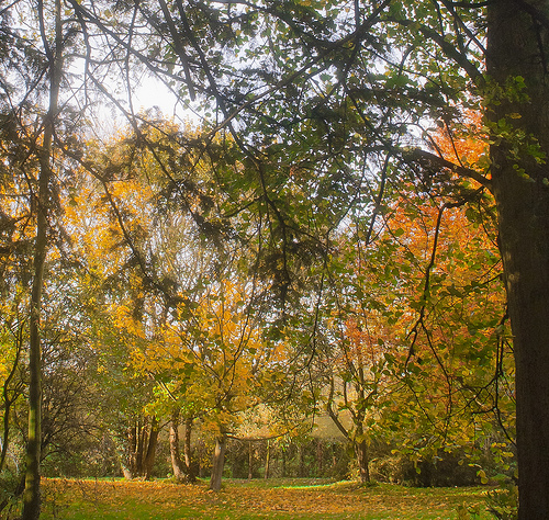
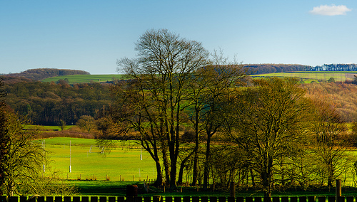
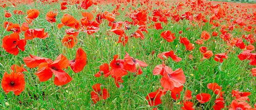
Pictures


Related Locations
Information of geographic nature is based on public data provided by geonames.org, CIA world facts book, Unesco, DBpedia and wikipedia. Weather is based on NOAA GFS.