-
You are here:
- Homepage »
- United Kingdom »
- Scotland » Thankerton

Thankerton Destination Guide
Explore Thankerton in United Kingdom
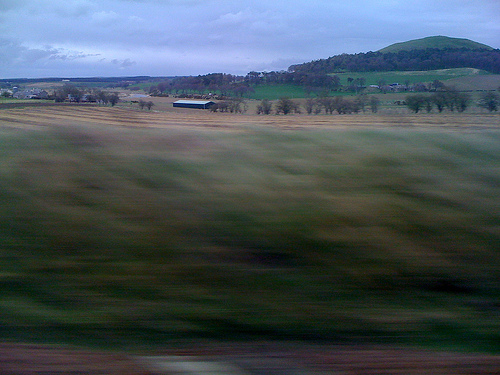
Thankerton in the region of Scotland is a town in United Kingdom - some 319 mi or ( 513 km ) North-West of London , the country's capital city .
Current time in Thankerton is now 09:36 PM (Saturday) . The local timezone is named " Europe/London " with a UTC offset of 0 hours. Depending on the availability of means of transportation, these more prominent locations might be interesting for you: Walston, Tarbrax, Stirling, Sheffield, and Roberton. Since you are here already, make sure to check out Walston . We encountered some video on the web . Scroll down to see the most favourite one or select the video collection in the navigation. Where to go and what to see in Thankerton ? We have collected some references on our attractions page.
Videos
Prophet Bill & Paul Lackie and Team to Scotland: 9-2009
Prophet Bill & Paul Lackie took a team this year to minister in Scotland. God showed up in a huge way and moved on the hearts of all that were in attendance. This was a great time of activation, impar ..
4M82 Coatbridge - Daventry with DRS 57s
..
WCML Freight at Float on 31.5.11
Freight action on the WCML at Float (just south of Carstairs). 1. 92026 & 67029 DIT 6S51 Carlisle Yard - Mossend (Engineers) 2. 37601 & 37611 6Z35 Perth - Carlisle Kingmoor DRS (RHTT) 3. 44871 5Z44 Ca ..
92037 60054 6O15 Float Viaduct 06 Aug2012
92037 leads 60054 (DIT) working 6O15 from Mossend to Eastleigh seen passing over Float Viaduct near Carstairs in South Lanarkshire at 18:17 on the 6th August 2012 ..
Videos provided by Youtube are under the copyright of their owners.
Interesting facts about this location
Thankerton
Thankerton is a small village in South Lanarkshire, Scotland, United Kingdom. It is located between Biggar and Lanark. It is situated between Quothquan Law and Tinto (two local hills). To the west of Thankerton is a hamlet called Eastend, on the south edge of the Carmichael Estate, whose main house, Eastend House, was used by the Polish Army between August 1940 and May 1941. A stone in the house, with the Polish eagle on it, commemorates the event.
Located at 55.62 -3.62 (Lat./Long.); Less than 1 km away
Quothquan
Quothquan (also formerly spelled Couth-Boan) is a village in Libberton parish, South Lanarkshire, Scotland. It is located at NS994395, 3 km north-west of Biggar, and 6 km south-east of Lanark. To the south-west is the 335m high Quothquan Law, topped by the remains of a hill fort. The name is derived from Gaelic and translates as The Common.
Located at 55.64 -3.60 (Lat./Long.); Less than 2 km away
Symington, South Lanarkshire
Symington is a small village in South Lanarkshire, Scotland, 3 miles southwest of Biggar, 10 miles east of Douglas and 13 miles southeast of Carluke. Geographical features near Symington include Tinto Hill, the Coulter Hills and the River Clyde.
Located at 55.60 -3.59 (Lat./Long.); Less than 4 km away
Tinto
Tinto is a hill in South Lanarkshire, Scotland. Tinto is an outlying part of the Southern Uplands, comprising little more than this one hill, which stands on the west bank of the River Clyde, some 8 kilometres west of Biggar. The peak is also called "Tinto Tap", with the name Tinto possibly deriving from the Scottish Gaelic word teinnteach, meaning "fiery". An old Scots children's rhyme tells of the "kist in the mist" at "Tintock tap", kist being the Scots word for "chest".
Located at 55.59 -3.66 (Lat./Long.); Less than 4 km away
Wiston, South Lanarkshire
Wiston is a small village in South Lanarkshire, Scotland. It is located 13 miles south east of Lanark and 8 miles south west of Biggar. Located in the Southern Uplands it is immediately to the south of Tinto, one of the highest points in the locality. The Garf Water, a tributary of the River Clyde, runs through the village. The village has hosted the Tinto Folk Music Festival. Wiston Lodge is a former Victorian Hunting Lodge built in the 1850s set in a 55-acre estate.
Located at 55.57 -3.66 (Lat./Long.); Less than 6 km away
Pictures
Related Locations
Information of geographic nature is based on public data provided by geonames.org, CIA world facts book, Unesco, DBpedia and wikipedia. Weather is based on NOAA GFS.